Map of Middleton, Wisconsin
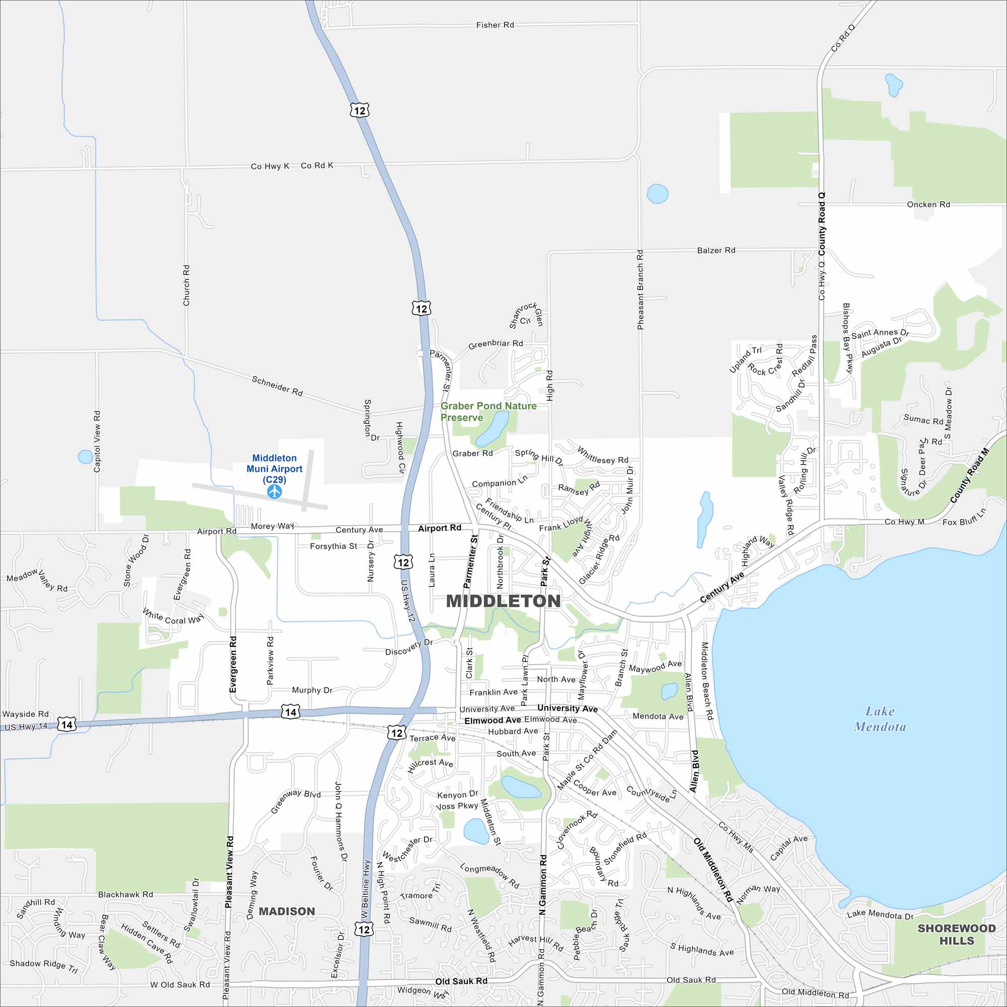
Check out Middleton, Wisconsin using our road map. The city sits just west of Madison, with Lake Mendota on the east side. Trails, parks, and a growing downtown stand out.
Map Information
On the Map
Interstates/Highways: US Hwy 12, US Hwy 14 Major Roads: University Ave, Century Ave, Airport Rd, Beltline Hwy, Gammon Rd, Allen Blvd, Park St, Parmenter St, High Point Rd, Old Sauk Rd, Old Middleton Rd, Pleasant View Rd, Mendota Ave, Elmwood Ave, Hubbard Ave, Terrace Ave, Discovery Dr, Deming Way, Greenway Blvd, Junction Rd Airports: Middleton Muni Airport (C29) Lakes and Reservoirs: Lake Mendota Nearby Communities: Madison, Shorewood HillsWisconsin State Maps
Discover maps of the Badger State.


City Maps of Wisconsin
See our Wisconsin maps designed for clarity.


