Map of Milford, Connecticut
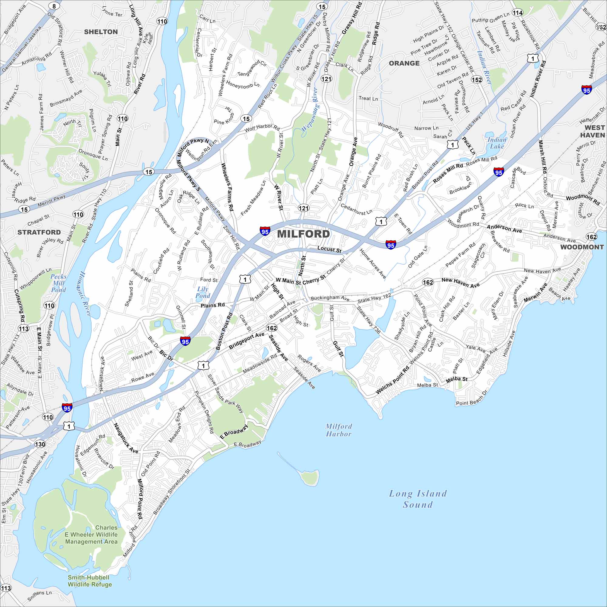
Explore Milford with our road map. The city stretches along Long Island Sound, occupying a good chunk of the Connecticut shoreline. While beaches and marinas shape its edge, a historic green area sits at its center.
Connecticut State Maps
Here’s your getaway to Connecticut geography


Map Information
On the Map
Interstates/Highways: I-95, State Rte 15, US Hwy 1, State Rte 121, State Rte 162, State Rte 110, State Rte 736 Major Roads: Boston Post Rd, Bridgeport Ave, New Haven Ave, Milford Pkwy, Cherry St, River St, Gulf St, Seaside Ave, Merwin Ave, Naugatuck Ave, Wheeler Farms Rd, High St, Broad St, Roses Mill Rd, Oronoque Rd, Plains Rd, Wolf Harbor Rd, Old Gate Ln, Woodmont Rd, Anderson Ave Lakes and Reservoirs: Long Island Sound, Milford Harbor, Gulf Pond, Indian Lake, Lily Pond, Pecks Mill Pond Major Rivers: Housatonic River, Wepawaug River Parks and Preserves: Charles E. Wheeler Wildlife Management Area, Smith-Hubbell Wildlife Refuge Nearby Communities: Stratford, Orange, West Haven, Woodmont, SheltonConnecticut City Maps
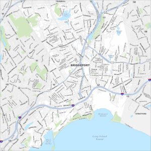
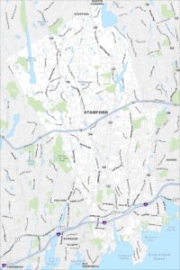
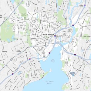
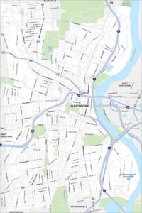
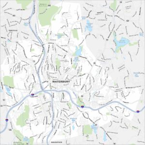
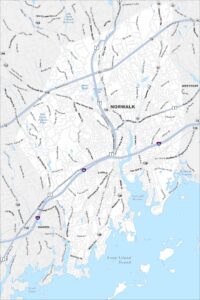
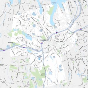
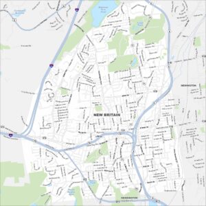
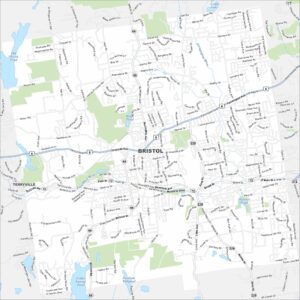
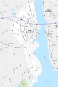
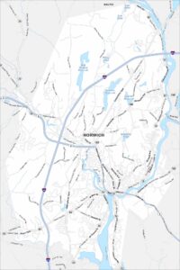
Browse Hartford and Connecticut’s city centers