Map of Milpitas, California
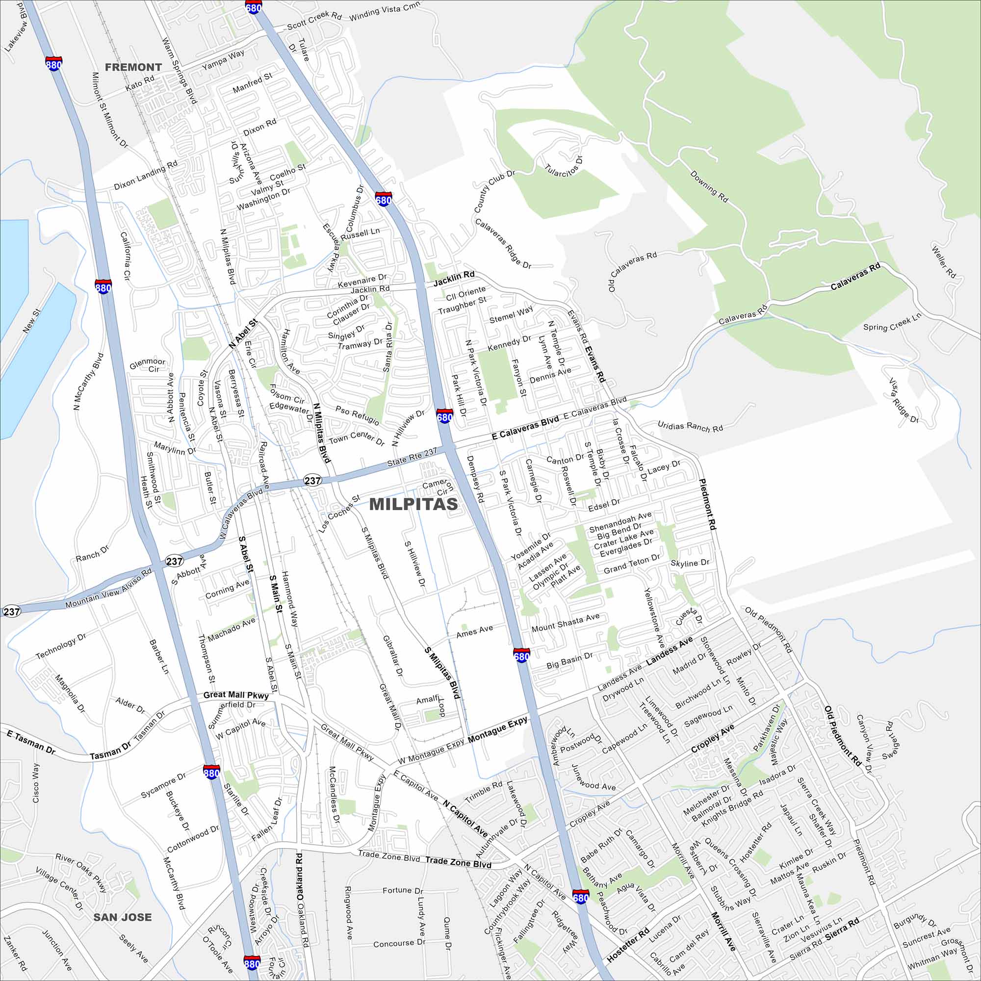
Milpitas sits at the north end of Silicon Valley. Our map shows its mix of residential areas mixed with its highways, roads and parks.
California State Maps
Explore California with our state maps


Map Information
On the Map
Interstates/Highways: I-680, I-880, State Rte 237 Major Roads: Calaveras Blvd, Montague Expy, Milpitas Blvd, Main St, Jacklin Rd, Great Mall Pkwy, Capitol Ave, Landess Ave, Piedmont Rd, Evans Rd, Yosemite Dr, Abbott Ave, Barber Ln, Dixon Landing Rd, Scott Creek Rd, Trade Zone Blvd, Fortune Dr, Hostetter Rd, Morrill Ave, Sierra Rd Nearby Communities: Fremont, San JoseCalifornia City Maps
Here are detailed maps of California


