Map of Montebello, California
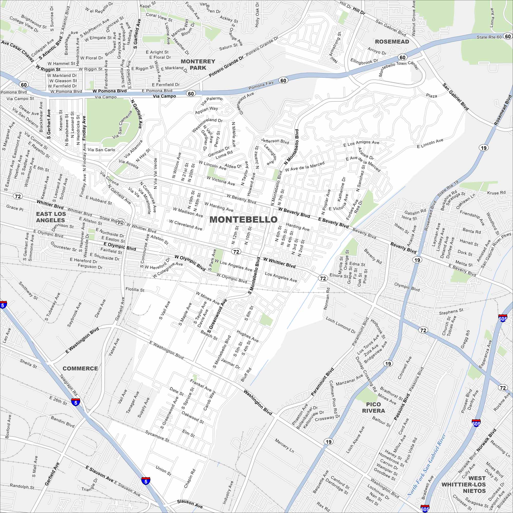
Our map of Montebello highlights a dense suburban layout east of Los Angeles. Freeways, neighborhoods, and parks fill the area. But it’s long been shaped by oil and industry.
California State Maps
Explore California with our state maps


Map Information
On the Map
Interstates/Highways: I-5, I-605, State Rte 19, State Rte 60, State Rte 72 Major Roads: Whittier Blvd, Montebello Blvd, Washington Blvd, Beverly Blvd, Olympic Blvd, Wilcox Ave, Garfield Ave, Paramount Blvd, Rosemead Blvd, San Gabriel Blvd, Via Campo, Pomona Blvd, Riggin St, Greenwood Ave, Mines Ave, Slauson Ave, Telegraph Rd, Vail Ave, Maple Ave, 4th St Major Rivers: North Fork San Gabriel River Nearby Communities: Monterey Park, Rosemead, East Los Angeles, Commerce, Pico Rivera, West Whittier-Los NietosCalifornia City Maps
Here are detailed maps of California


