Map of Morgan Hill, California
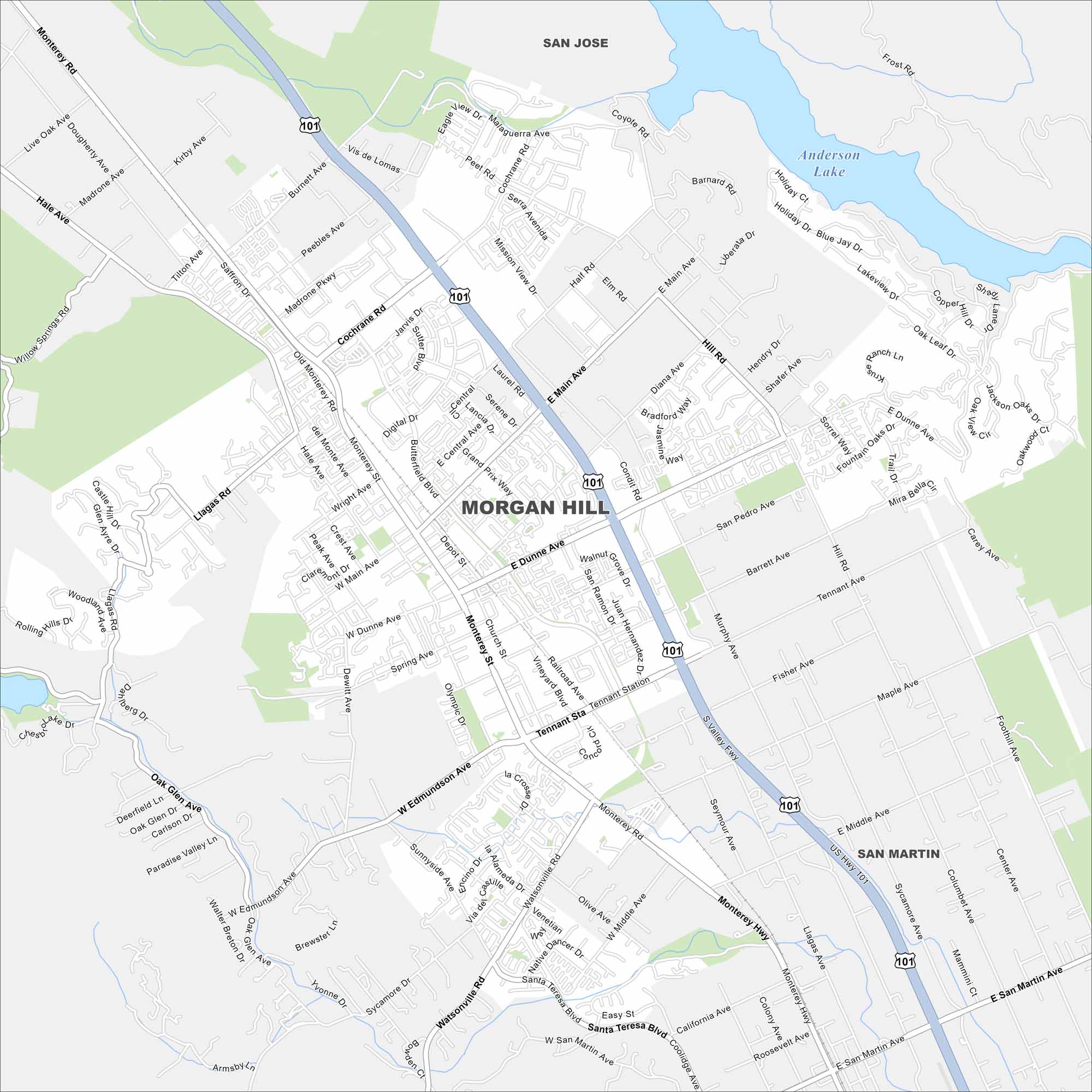
Check out Morgan Hill on our map. The city is part of of Santa Clara County with vineyards and farmland nearby. It’s a quieter spot just south of Silicon Valley.
California State Maps
Explore California with our state maps


Map Information
On the Map
Interstates/Highways: US Hwy 101 Major Roads: Monterey Rd, Dunne Ave, Main St, Cochrane Rd, Tennant Ave, Watsonville Rd, Butterfield Blvd, Condit Rd, Madrone Pkwy, Edmundson Ave, Santa Teresa Blvd, Murphy Ave, Hill Rd, Peet Rd, Half Rd, Llagas Rd, Hale Ave, Wright Ave, Depot St, Church St Lakes and Reservoirs: Anderson Lake, Chesbro Lake Nearby Communities: San Jose, San MartinCalifornia City Maps
Here are detailed maps of California


