Map of Mountain View, California
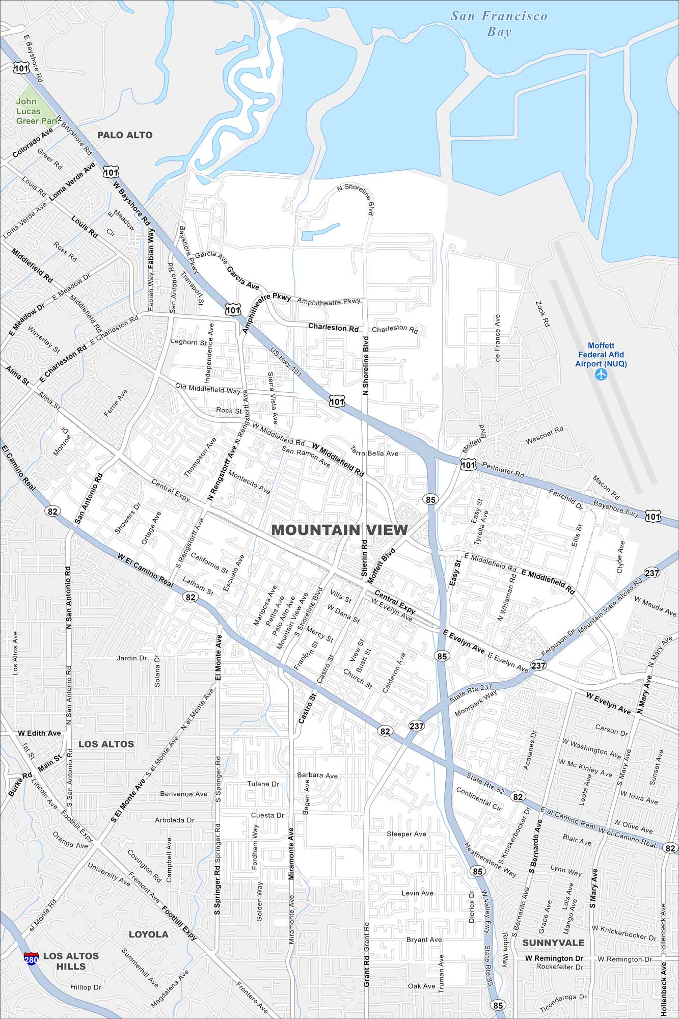
Mountain View sits in the heart of Silicon Valley. Our map highlights its highways, roads, neighborhoods, and bayfront shoreline. The city is a major hub for innovation and is the headquarters of Google.
California State Maps
Explore California with our state maps


Map Information
On the Map
Interstates/Highways: US Hwy 101, State Rte 82, State Rte 85, State Rte 237, I-280 Major Roads: El Camino Real, Central Expy, Shoreline Blvd, Middlefield Rd, San Antonio Rd, Rengstorff Ave, Miramonte Ave, Grant Rd, Castro St, California St, Moffett Blvd, Charleston Rd, Amphitheatre Pkwy, Evelyn Ave, Stierlin Rd, Springer Rd, Foothill Expy, Mary Ave, Bernardo Ave, Hollenbeck Ave Airports: Moffett Federal Afld Airport (NUQ) Lakes and Reservoirs: San Francisco Bay Nearby Communities: Palo Alto, Los Altos, Sunnyvale, Los Altos Hills, LoyolaCalifornia City Maps
Here are detailed maps of California


