Map of Murrieta, California
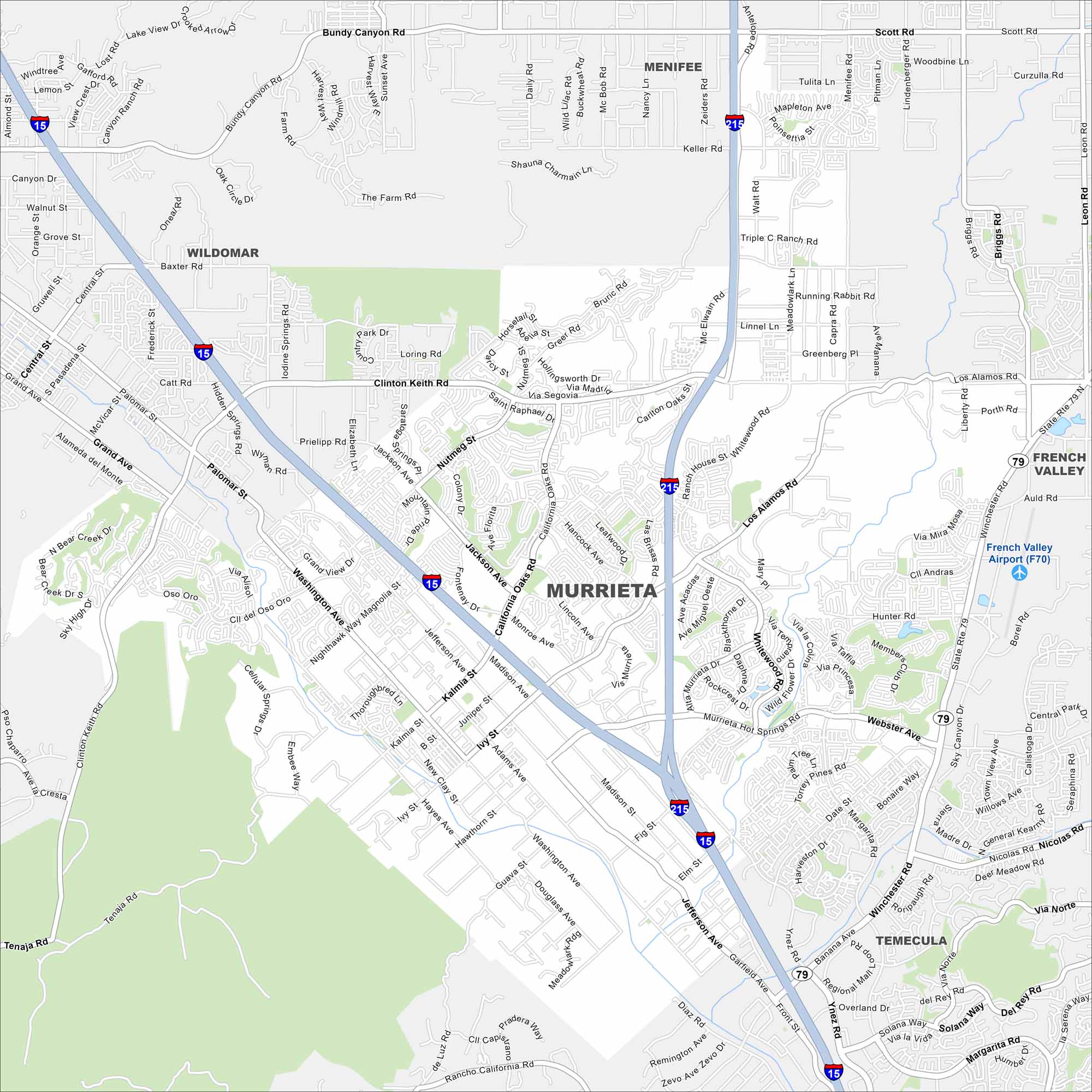
Explore Murrieta with our map to see its neighborhoods spread across rolling hills. The city is connected by Interstate 15, linking it to Temecula and Riverside. Its growth has really shown in much of its recent history.
California State Maps
Explore California with our state maps


Map Information
On the Map
Interstates/Highways: I-15, I-215, State Rte 79 Major Roads: Murrieta Hot Springs Rd, Clinton Keith Rd, Winchester Rd, California Oaks Rd, Madison Ave, Jefferson Ave, Washington Ave, Whitewood Rd, Los Alamos Rd, Hancock Ave, Guava St, Ivy St, Kalmia St, Hayes Ave, Adams Ave, Nutmeg St, Jackson Ave, Scott Rd, Grand Ave, Tenaja Rd Airports: French Valley Airport (F70) Nearby Communities: Temecula, Wildomar, Menifee, French ValleyCalifornia City Maps
Here are detailed maps of California


