Map of Muskego, Wisconsin
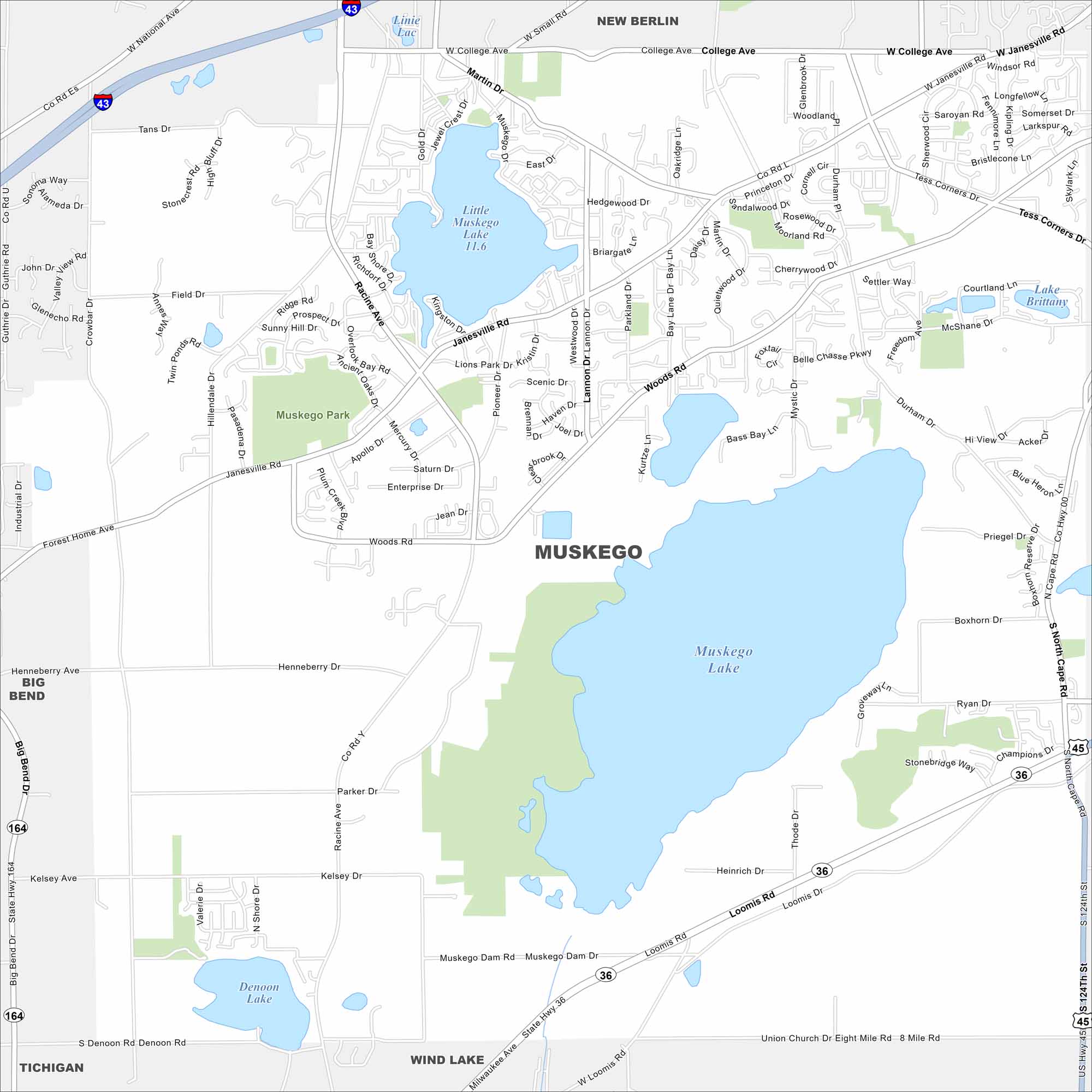
Our map of Muskego outlines a city southwest of Milwaukee. Lakes and wetlands break up much of the suburban layout. It’s a community shaped by both nature and metro growth.
Map Information
On the Map
Interstates/Highways: I-43, US Hwy 45, State Rte 36, State Rte 164 Major Roads: Janesville Rd, Loomis Rd, Racine Ave, College Ave, Moorland Rd, Durham Dr, North Cape Rd, Woods Rd, Lannon Dr, Pioneer Dr, Muskego Dam Rd, Kelsey Ave, Crowbar Rd, Field Dr, Martin Dr, Tans Dr, Apollo Dr, Enterprise Dr, Mercury Dr, Saturn Dr Lakes and Reservoirs: Muskego Lake, Little Muskego Lake, Denoon Lake, Lake Brittany Parks and Preserves: Muskego Park Nearby Communities: New Berlin, Big Bend, Wind Lake, TichiganWisconsin State Maps
Discover maps of the Badger State.


City Maps of Wisconsin
See our Wisconsin maps designed for clarity.


