Map of Neenah, Wisconsin
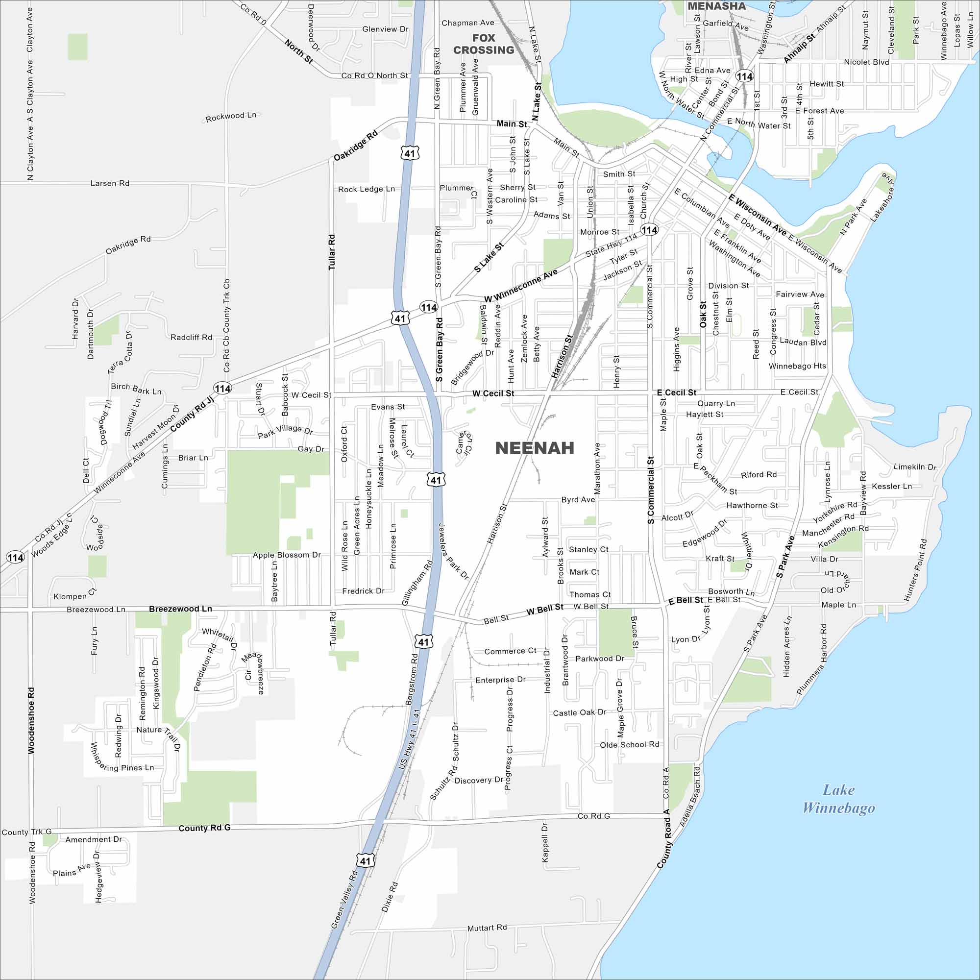
Our map of Neenah shows a city on Lake Winnebago. The Fox River runs through its center, with bridges linking downtown. Paper manufacturing has long defined the area.
Map Information
On the Map
Interstates/Highways: I-41, US Hwy 41, State Rte 114 Major Roads: Winneconne Ave, Cecil St, Bell St, Main St, Commercial St, Wisconsin Ave, Green Bay Rd, Breezewood Ln, Tullar Rd, Oakridge Rd, Harrison St, Lake St, Park Ave, Doty Ave, Franklin Ave, Washington Ave, Gillingham Rd, Bergstrom Rd, Schultz Dr, Enterprise Dr Lakes and Reservoirs: Lake Winnebago Nearby Communities: Menasha, Fox CrossingWisconsin State Maps
Discover maps of the Badger State.


City Maps of Wisconsin
See our Wisconsin maps designed for clarity.


