Map of New Berlin, Wisconsin
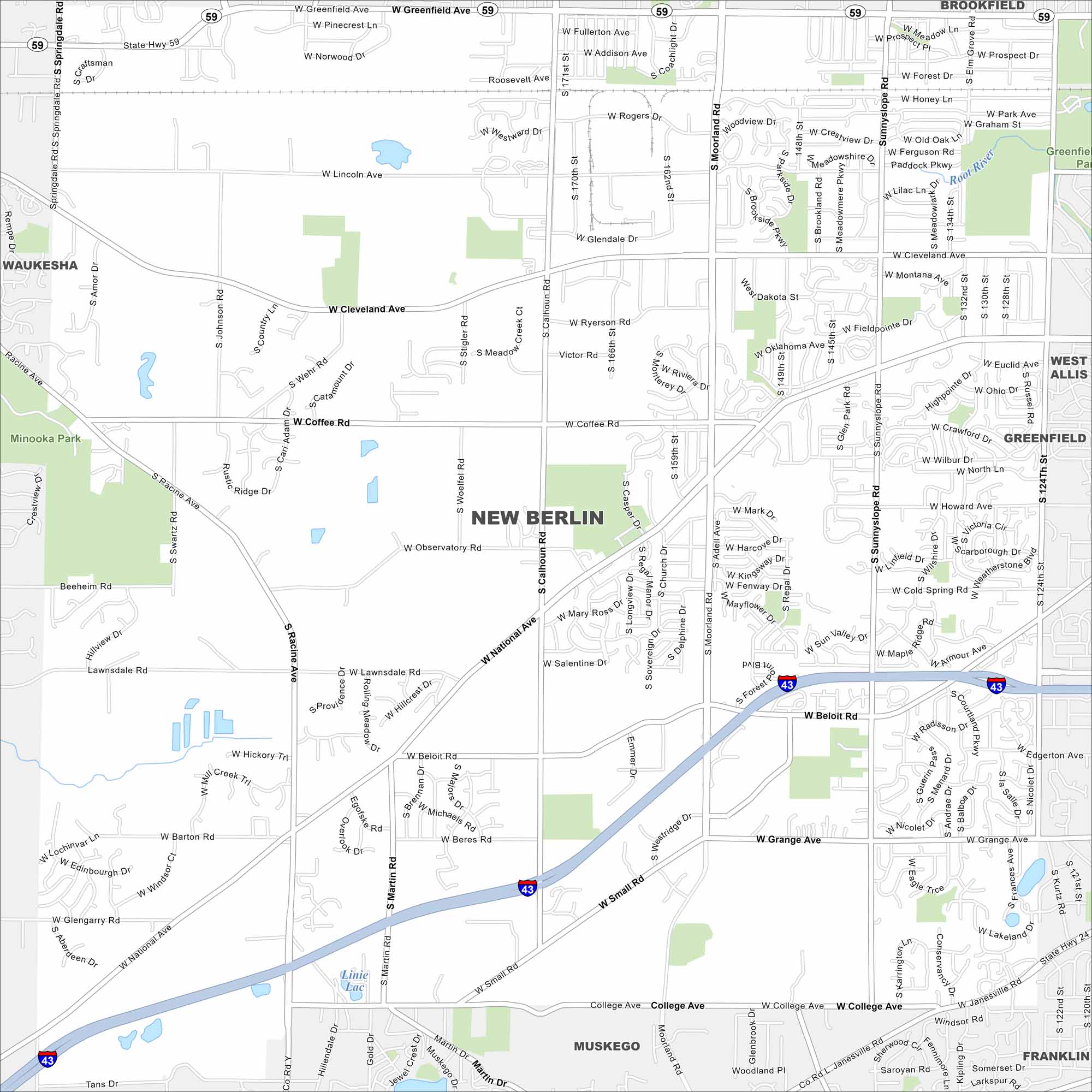
New Berlin sits between Milwaukee and Waukesha. This map highlights highways, roads and parks. It has grown steadily as part of the greater Milwaukee area.
Map Information
On the Map
Interstates/Highways: I-43, State Rte 59 Major Roads: National Ave, Moorland Rd, Cleveland Ave, Coffee Rd, Beloit Rd, Racine Ave, College Ave, Lawnsdale Rd, Observatory Rd, Small Rd, Greenfield Ave, Grange Ave, Calhoun Rd, Sunny Slope Rd, Martin Rd, 124th St, Springdale Rd, Rogers Dr, Howard Ave, Cold Spring Rd Lakes and Reservoirs: Linie Lac Major Rivers: Root River Nearby Communities: Waukesha, Brookfield, Greenfield, West Allis, Muskego, FranklinWisconsin State Maps
Discover maps of the Badger State.


City Maps of Wisconsin
See our Wisconsin maps designed for clarity.


