Map of New Brunswick, New Jersey
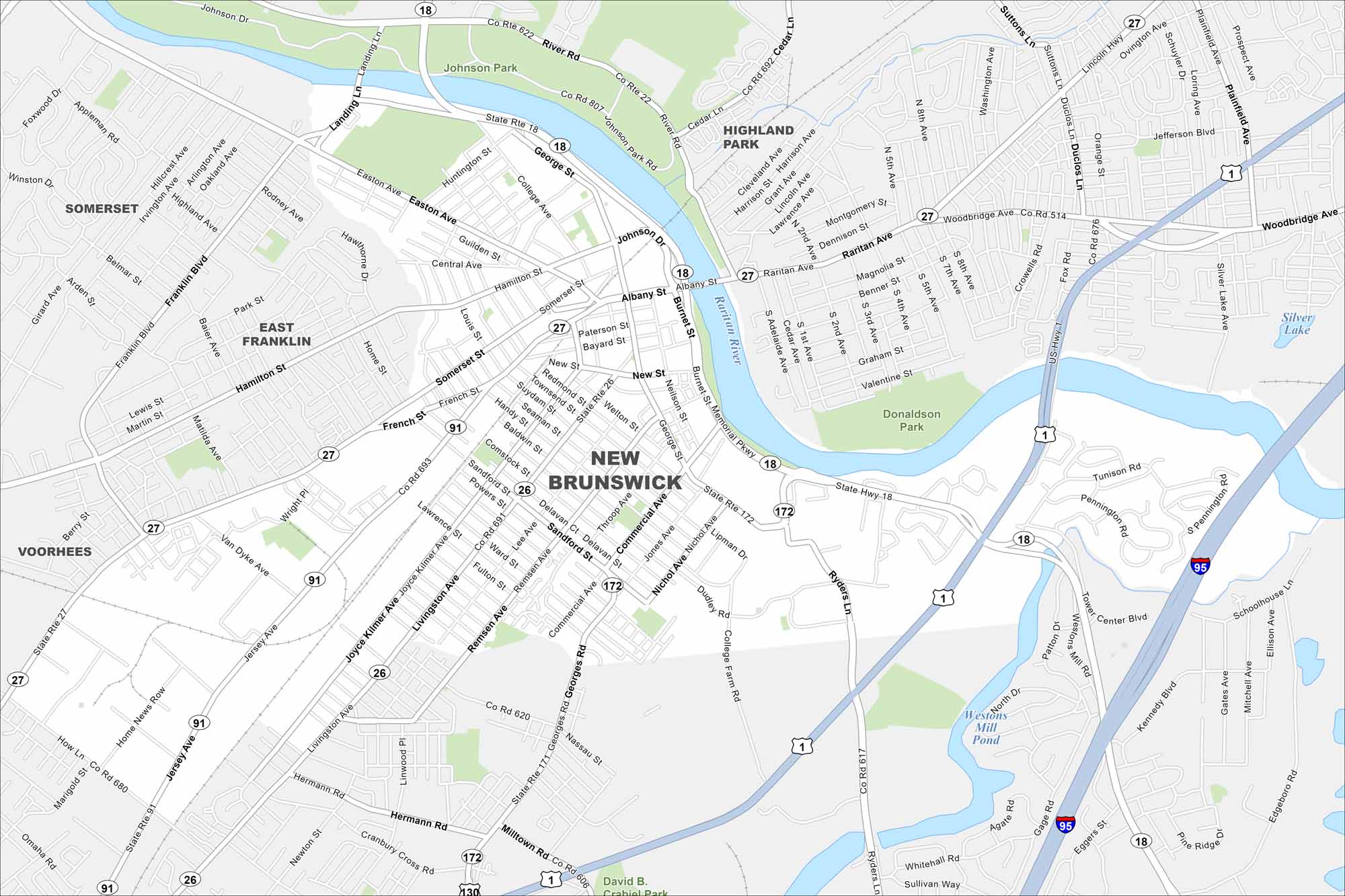
New Brunswick sits on the Raritan River. Check out the map to see its downtown streets and transportation network. Rutgers University is here so it’s both a college town and a corporate hub.
Map Information
On the Map
Interstates/Highways: I-95, State Rte 18, State Rte 27, State Rte 171, State Rte 172, US Hwy 1 Major Roads: Albany St, French St, Livingston Ave, George St, Easton Ave, Raritan Ave, Burnet St, Memorial Pkwy, Ryders Ln, Georges Rd, Milltown Rd, Jersey Ave, Joyce Kilmer Ave, Commercial Ave, Suydam St, Somerset St, Hamilton St, New St, Bayard St, Paterson St Lakes and Reservoirs: Westons Mill Pond, Silver Lake Major Rivers: Raritan River Parks and Preserves: Johnson Park, Donaldson Park, David B. Crabiel Park Nearby Communities: Somerset, East Franklin, Highland Park, VoorheesNew Jersey State Maps
Explore maps from the Garden State.


City Maps of New Jersey
Newark and New Jersey cities in complete detail


