Map of Newark, California
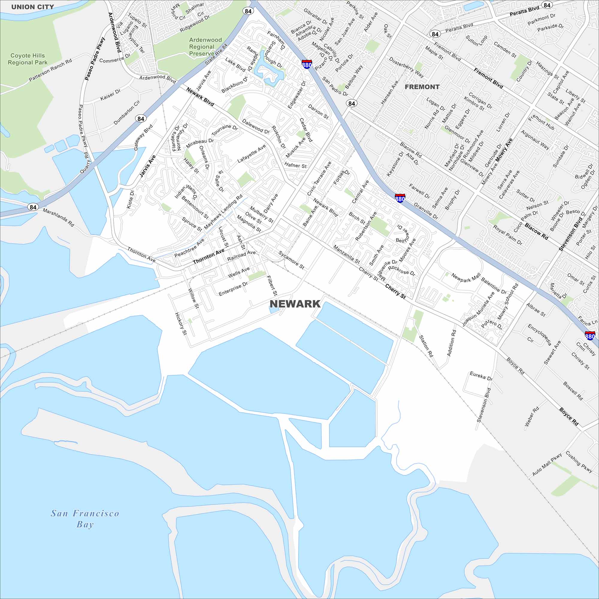
Newark sits in the East Bay near Fremont. Take a look at our map to see its road network, salt ponds, and highway connections. This city is closely tied to Silicon Valley.
California State Maps
Explore California with our state maps


Map Information
On the Map
Interstates/Highways: I-880, State Rte 84 Major Roads: Newark Blvd, Thornton Ave, Jarvis Ave, Cherry St, Cedar Blvd, Mowry Ave, Stevenson Blvd, Central Ave, Dumbarton Cir, Enterprise Dr, Wells Ave, Robertson Ave, Birch St, Baine Ave, Musick Ave, Filbert St, Hickory St, Willow St, Boyce Rd, Albrae St Lakes and Reservoirs: San Francisco Bay Parks and Preserves: Coyote Hills Regional Park, Ardenwood Regional PreserveCalifornia City Maps
Here are detailed maps of California


