Map of Oceanside, California
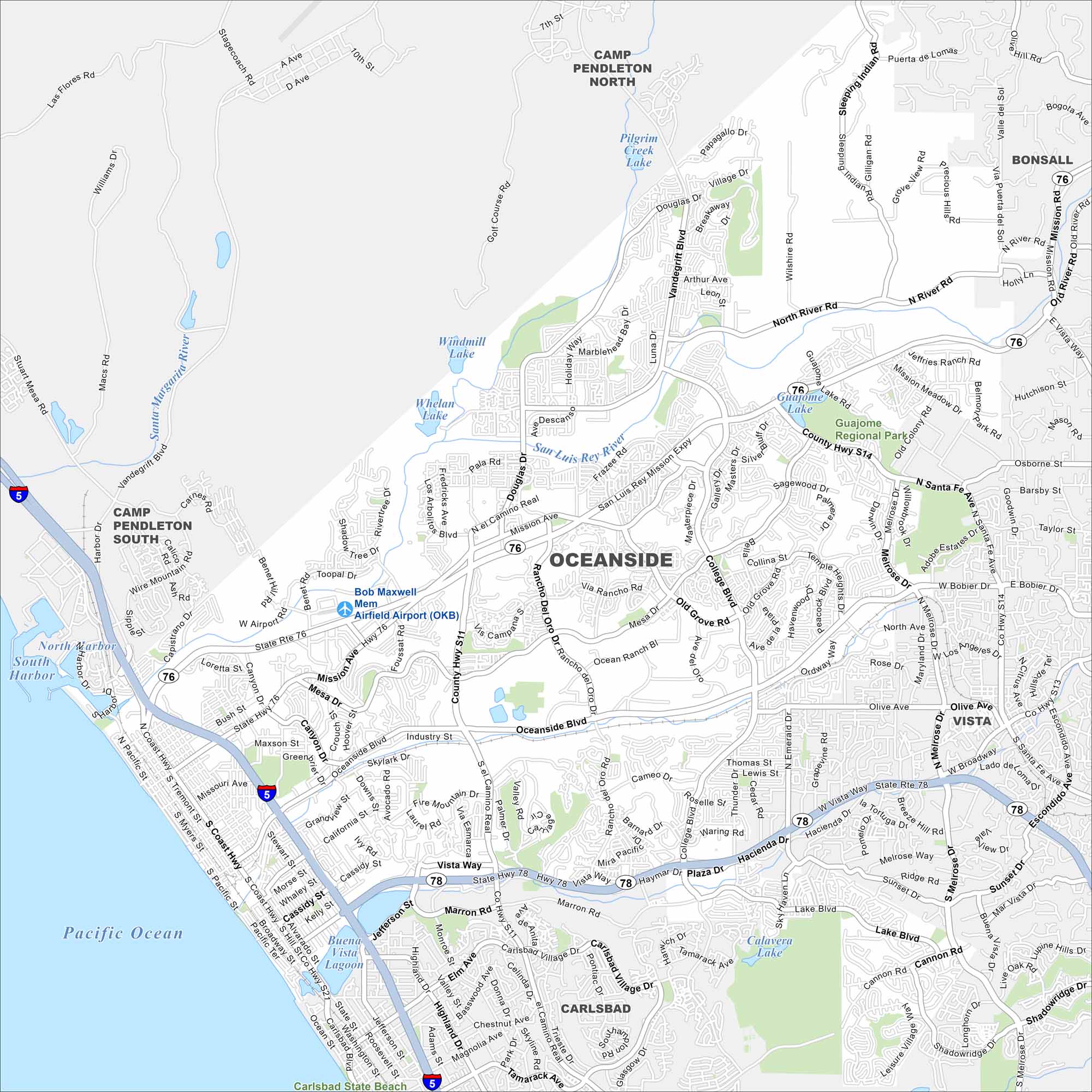
Oceanside sits on the Pacific coast of northern San Diego County. The map shows a long beachfront, a harbor, and a downtown grid. Camp Pendleton lies immediately to the north.
California State Maps
Explore California with our state maps


Map Information
On the Map
Interstates/Highways: I-5, I-15, I-78, State Rte 76 Major Roads: Oceanside Blvd, Mission Ave, Vista Way, College Blvd, El Camino Real, Douglas Dr, Vandegrift Blvd, Coast Hwy, Rancho Del Oro Dr, Old Grove Rd, Mesa Dr, Cannon Rd, Pala Rd, Frazee Rd, Jeffries Ranch Rd, North River Rd, Sleeping Indian Rd, Wilshire Rd, Olive Ave, Marron Rd Airports: Bob Maxwell Mem Airfield Airport (OKB) Lakes and Reservoirs: Pacific Ocean, South Harbor, Whelan Lake, Windmill Lake, Pilgrim Creek Lake, Guajome Lake, Calavera Lake, Buena Vista Lagoon Major Rivers: Santa Margarita River, San Luis Rey River Parks and Preserves: Guajome Regional Park Nearby Communities: Camp Pendleton North, Camp Pendleton South, Bonsall, Vista, CarlsbadCalifornia City Maps
Here are detailed maps of California


