Map of Orinda, California
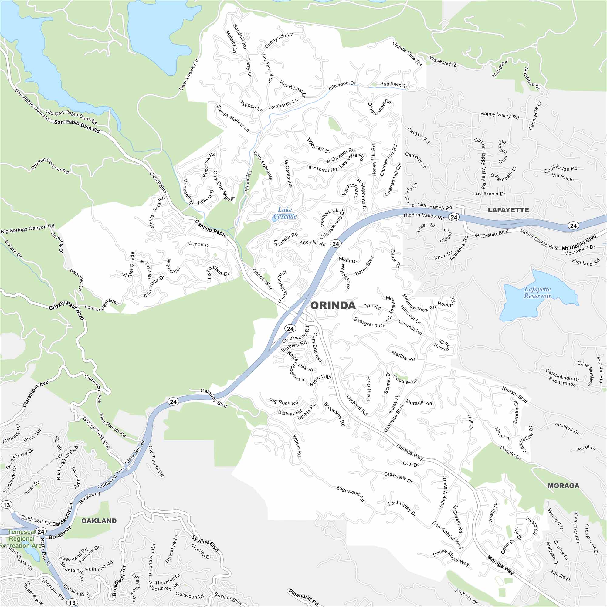
Orinda rests in the hills east of Berkeley. Check out our Orinda map to see winding streets tucked among canyons and open space. The town has a quiet, suburban feel with easy access to the Bay Area.
California State Maps
Explore California with our state maps


Map Information
On the Map
Interstates/Highways: State Rte 24, State Rte 13 Major Roads: Camino Pablo, Moraga Way, San Pablo Dam Rd, Broadway, Grizzly Peak Blvd, Mt Diablo Blvd, Pinehurst Rd, Skyline Blvd, Wildcat Canyon Rd, Claremont Ave, Fish Ranch Rd, Brookwood Rd, Charles Hill Rd, Orinda Way, Miner Rd, Lombardy Ln, Happy Valley Rd, El Nido Ranch Rd, Glorietta Blvd, Rheem Blvd Lakes and Reservoirs: Lake Cascade, Lafayette Reservoir Parks and Preserves: Temescal Regional Recreation Area Nearby Communities: Oakland, Lafayette, MoragaCalifornia City Maps
Here are detailed maps of California


