Map of Oshkosh, Wisconsin
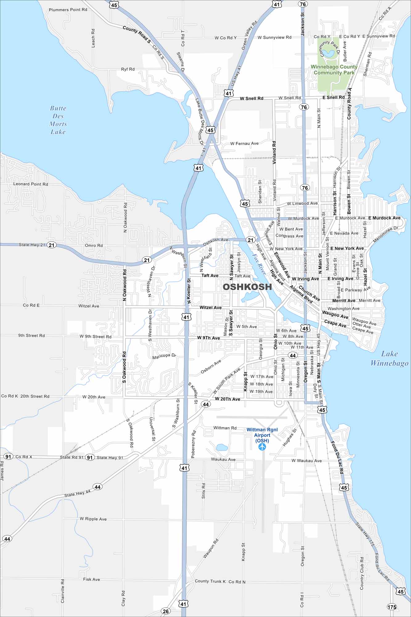
Oshkosh sits on Lake Winnebago with the Fox River flowing through it. Check out our map to see its riverfront, neighborhoods, and busy streets.
Map Information
On the Map
Interstates/Highways: US Hwy 41, US Hwy 45, State Rte 21, State Rte 26, State Rte 44, State Rte 76, State Rte 91, State Rte 175 Major Roads: Main St, 20th Ave, 9th St, Witzel Ave, Oshkosh Ave, Murdock Ave, Jackson St, Sunnyview Rd, Koeller St, Washburn St, Oregon St, Ohio St, Knapp St, Bowen St, Harrison St, Algoma Blvd, Irving Ave, New York Ave, South Park Ave, Fernau Ave Airports: Wittman Rgnl Airport (OSH) Lakes and Reservoirs: Lake Winnebago, Butte Des Morts Lake Major Rivers: Fox River Parks and Preserves: Winnebago County Community ParkWisconsin State Maps
Discover maps of the Badger State.


City Maps of Wisconsin
See our Wisconsin maps designed for clarity.


