Map of Oxnard, California
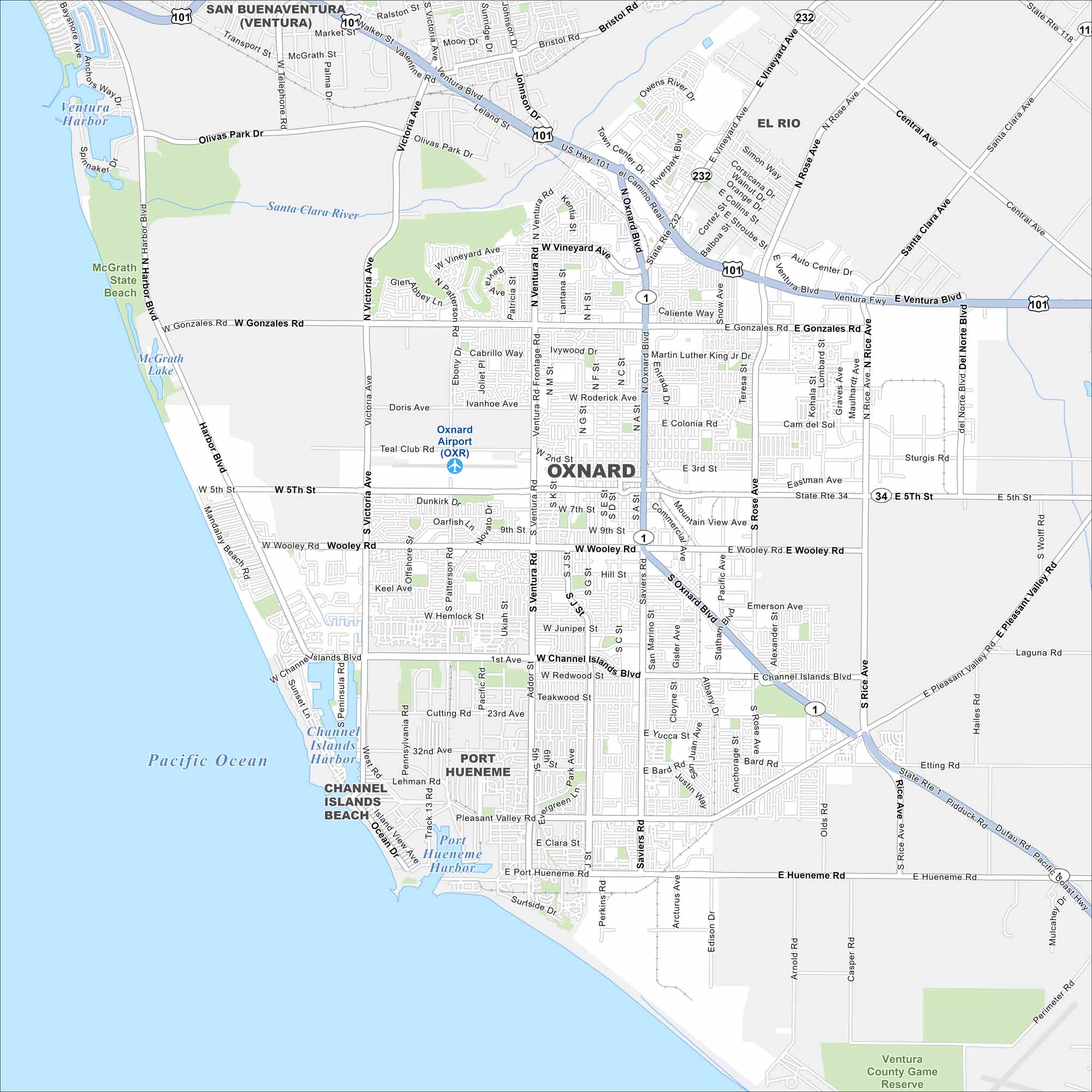
Our map of Oxnard shows a coastal city on the Pacific, west of Los Angeles. Beaches, marinas, and farmland shape its layout. It’s one of the top agricultural hubs in the state.
California State Maps
Explore California with our state maps


Map Information
On the Map
Interstates/Highways: US Hwy 101, State Rte 1, State Rte 34, State Rte 232, State Rte 118, State Rte 1 Major Roads: Oxnard Blvd, Ventura Rd, Victoria Ave, Saviers Rd, Rice Rd, Rose Ave, Channel Islands Blvd, Pleasant Valley Rd, Vineyard Ave, Wooley Rd, Fifth St, Hueneme Rd, Gonzales Rd, Olivas Park Rd, Harbor Blvd, Central Ave, Santa Clara Ave, Etting Rd, Wood Rd, Sturgis Rd Airports: Oxnard Airport (OXR) Lakes and Reservoirs: Pacific Ocean, Ventura Harbor, McGrath Lake, Port Hueneme Harbor Major Rivers: Santa Clara River Parks and Preserves: McGrath State Beach, Ventura County Game Reserve Nearby Communities: San Buenaventura (Ventura), El Rio, Port HuenemeCalifornia City Maps
Here are detailed maps of California


