Map of Pacific Grove, California
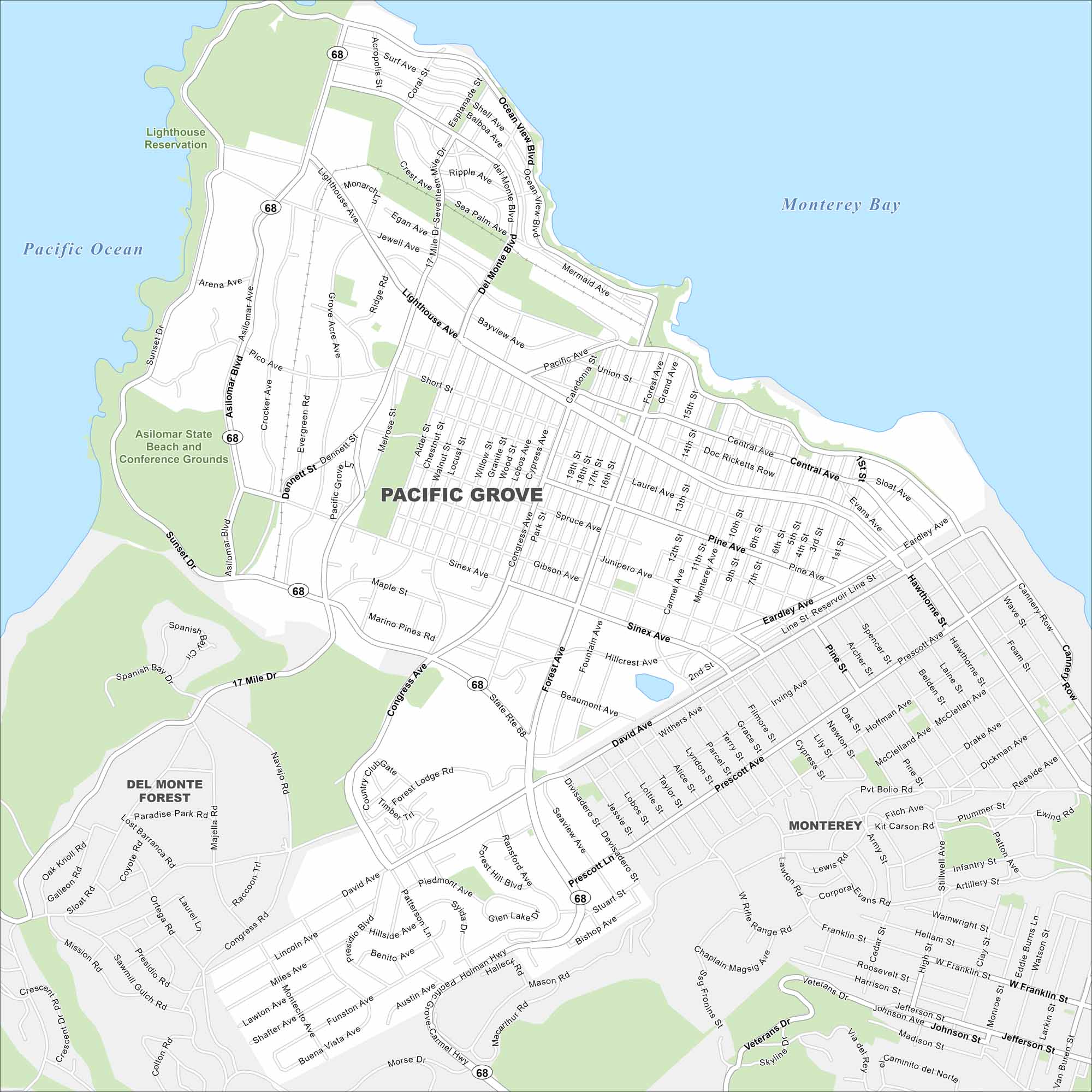
Check out our map of Pacific Grove to see its coastal streets, rocky shoreline, and quiet neighborhoods. Pacific Grove sits on the Monterey Peninsula beside the Pacific Ocean. It’s especially famous for its monarch butterfly sanctuary.
California State Maps
Explore California with our state maps


Map Information
On the Map
Interstates/Highways: State Rte 68 Major Roads: 17 Mile Dr, Sunset Dr, Forest Ave, David Ave, Central Ave, Ocean View Blvd, Asilomar Blvd, Sinex Ave, Congress Ave, Prescott Ln, Holman Hwy, Carmel Hwy, Lighthouse Ave, Pine Ave, Eardley Ave, Taylor St, Bishop Ave, Skyline Forest Dr, Sloat Ave, Garden Rd Lakes and Reservoirs: Pacific Ocean, Monterey Bay Parks and Preserves: Asilomar State Beach and Conference Grounds, Lighthouse Reservation, Del Monte Forest, Veterans Dr Nearby Communities: MontereyCalifornia City Maps
Here are detailed maps of California


