Map of Yuba City, California
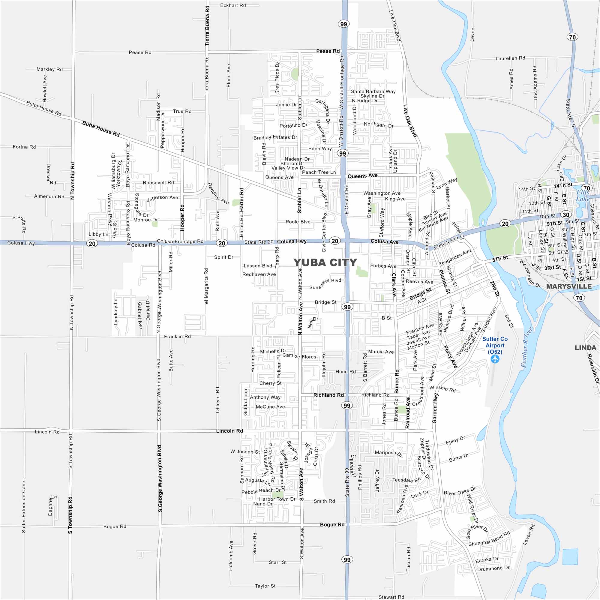
This Yuba City map shows its prime location in the Sacramento Valley. Surrounded by orchards and farmland, it’s a hub for the region.
California State Maps
Explore California with our state maps


Map Information
On the Map
Interstates/Highways: State Rte 99, State Rte 20, State Rte 70 Major Roads: Colusa Ave, Walton Ave, Bridge St, Lincoln Rd, Franklin Rd, Garden Hwy, Plumas St, Sutter St, Bogue Rd, George Washington Blvd, Township Rd, Pease Rd, Queens Ave, Forbes Ave, Richland Rd, Stabler Ln, Civic Center Blvd, Gray Ave, 5th St Airports: Sutter Co Airport (O52) Lakes and Reservoirs: Ellis Lake Major Rivers: Feather River Nearby Communities: Marysville, LindaCalifornia City Maps
Here are detailed maps of California


