Map of Perth Amboy, New Jersey
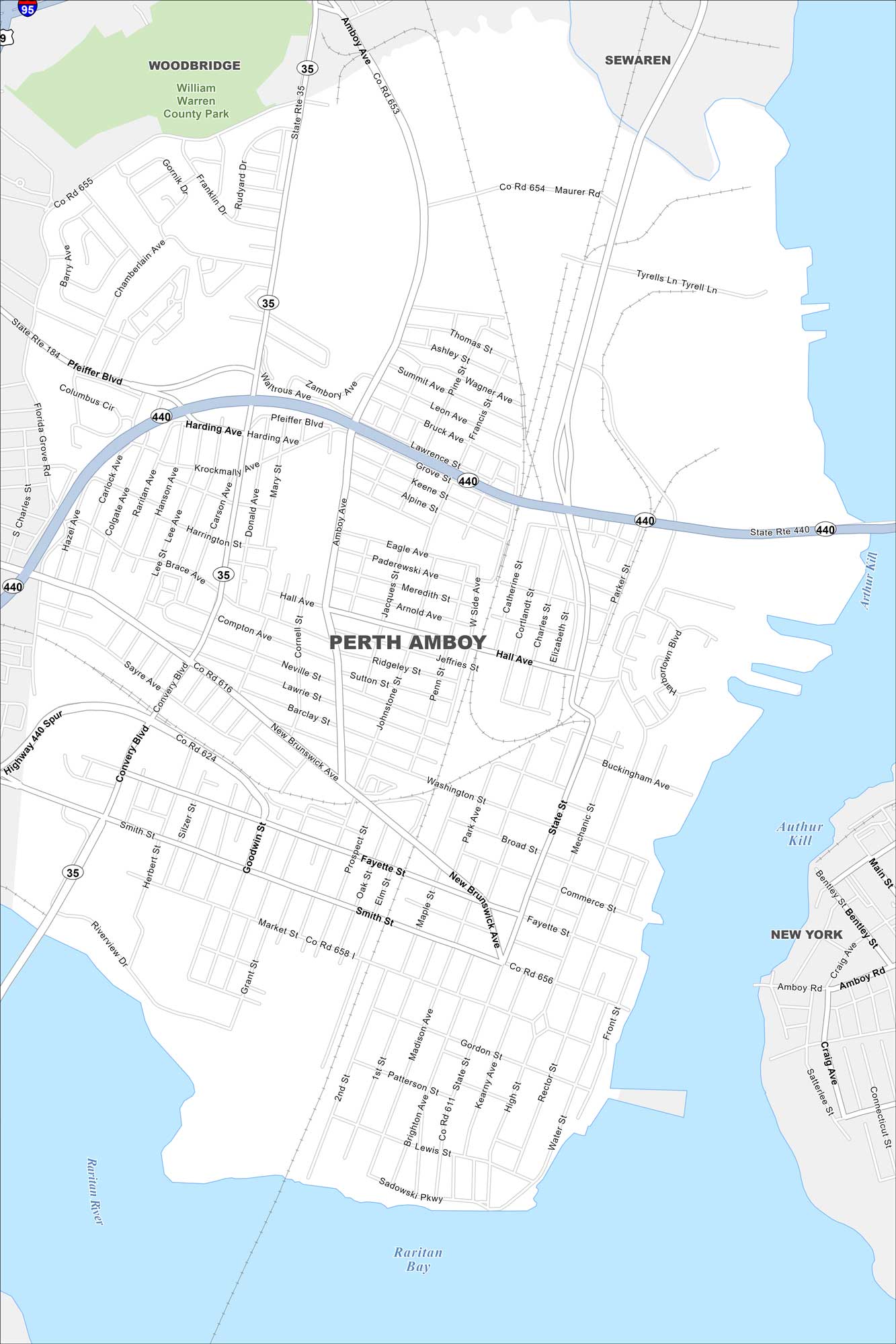
Check out Perth Amboy on the Raritan Bay shoreline. This map points to its waterfront, marinas, and dense street grid. Ferries once made this city a key port town.
Map Information
On the Map
Interstates/Highways: I-95, State Rte 440, State Rte 35, State Rte 184 Major Roads: Convery Blvd, Pfeiffer Blvd, Amboy Ave, Smith St, Market St, New Brunswick Ave, Hall Ave, State St, Broad St, High St, Fayette St, Maurer Rd, Florida Grove Rd, Brace Ave, Sadowski Pkwy, Brighton Ave, Madison Ave, Harbortown Blvd, Buckingham Ave, Washington St Lakes and Reservoirs: Raritan Bay, Arthur Kill Major Rivers: Raritan River Parks and Preserves: William Warren County Park Nearby Communities: Woodbridge, Sewaren, New YorkNew Jersey State Maps
Explore maps from the Garden State.


City Maps of New Jersey
Newark and New Jersey cities in complete detail


