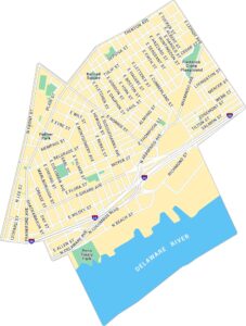
Map of Philadelphia, Pennsylvania
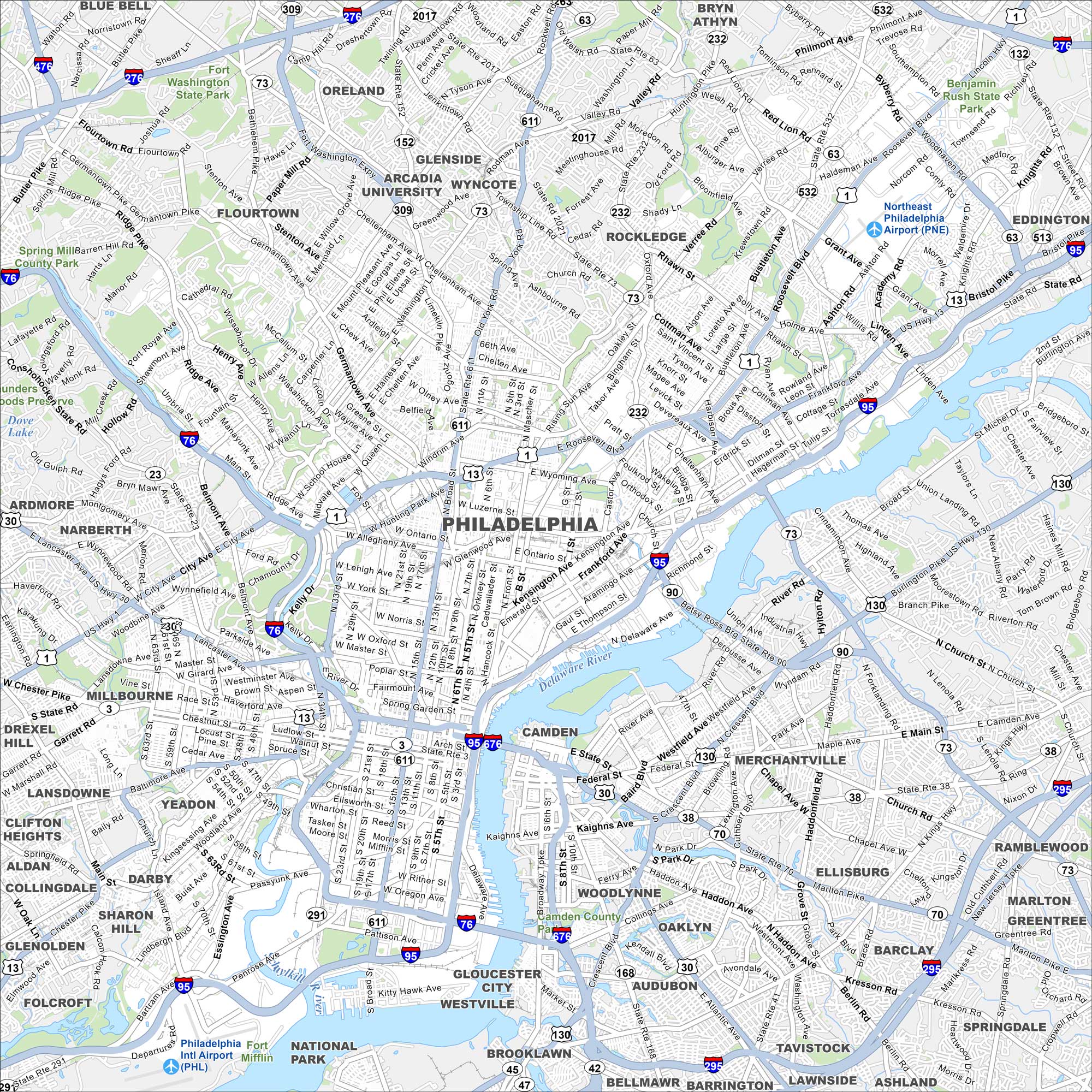
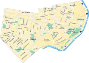
Philadelphia spreads along the Delaware River with a dense historic core. Our map of Philadelphia shows major highways and bridges that connect it to New Jersey and the wider region. Center City, Fairmount Park, and historic districts stand out at its core.
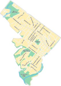
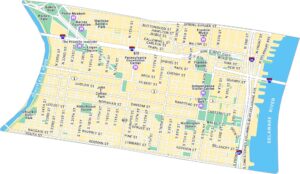
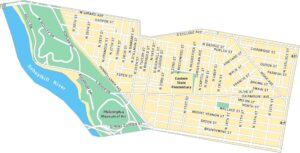
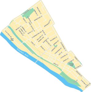
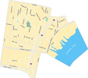
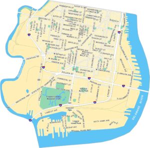
Philadelphia Neighborhood Maps
See our neighborhood maps for a closer look of the city.
Map Information
On the Map
Interstates/Highways: I-95, I-76, I-676, I-476, I-276, US Hwy 1, US Hwy 13, US Hwy 30, State Rte 611, State Rte 63, State Rte 232, State Rte 291, State Rte 73, State Rte 309 Major Roads: Broad St, Market St, Vine St, Roosevelt Blvd, Penrose Ave, Passyunk Ave, Girard Ave, Lehigh Ave, Alleghany Ave, Hunting Park Ave, Aramingo Ave, Frankford Ave, Ridge Ave, Kelly Dr, Lincoln Dr, Henry Ave, Stenton Ave, Castor Ave, Cottman Ave, Woodhaven Rd Airports: Philadelphia Intl Airport, Northeast Philadelphia Airport Major Rivers: Delaware River, Schuylkill River Parks and Preserves: Fairmount Park, Wissahickon Valley Park, Pennypack Park, Franklin D Roosevelt Park, Fort Washington State Park, Benjamin Rush State Park Nearby Communities: Camden, Gloucester City, Woodlynne, Merchantville, Pennsauken, Yeadon, Darby, Drexel Hill, Narberth, Ardmore, Flourtown, Glenside, Rockledge, Bryn Athyn, JenkintownPennsylvania State Maps
Browse maps throughout the Keystone State.


City Maps of Pennsylvania
Here is our city map collection for all of Pennsylvania.


