Map of Yucaipa, California
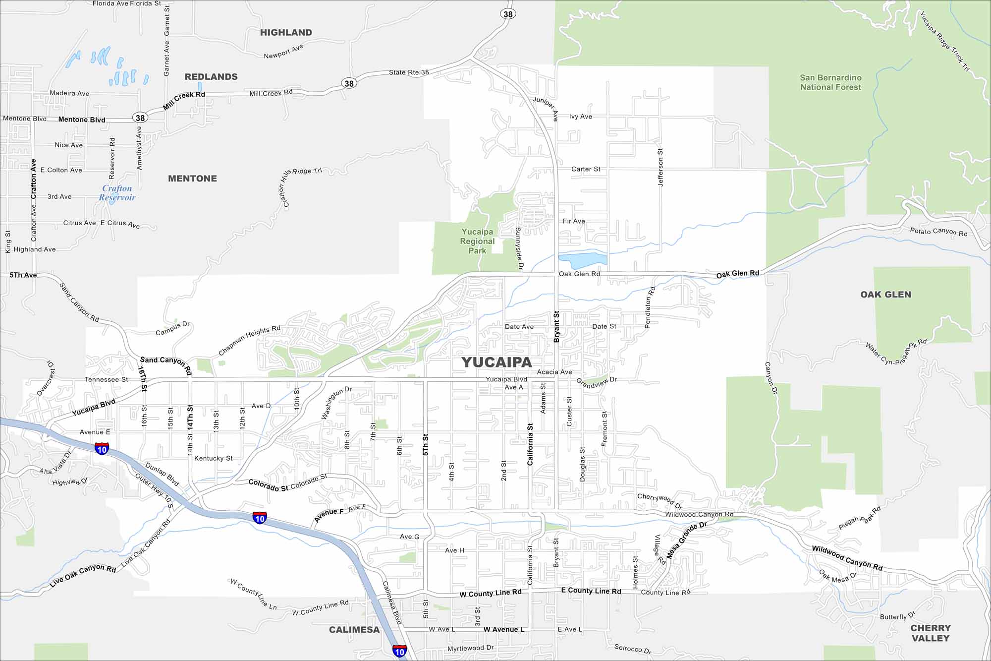
Here’s our map of Yucaipa, California, tucked against the San Bernardino Mountains. Parks and trails give this city a scenic edge.
California State Maps
Explore California with our state maps


Map Information
On the Map
Interstates/Highways: I-10, State Rte 38 Major Roads: Yucaipa Blvd, Oak Glen Rd, Wildwood Canyon Rd, County Line Rd, Bryant St, California St, Sand Canyon Rd, Chapman Heights Rd, Outer Hwy 10, 14th St, 5th St, Adams St, Fremont St, Douglas St, Ave E, Ave H Lakes and Reservoirs: Crafton Reservoir Parks and Preserves: San Bernardino National Forest, Yucaipa Regional Park Nearby Communities: Redlands, Mentone, Oak Glen, Calimesa, Cherry ValleyCalifornia City Maps
Here are detailed maps of California


