Map of Piedmont, California
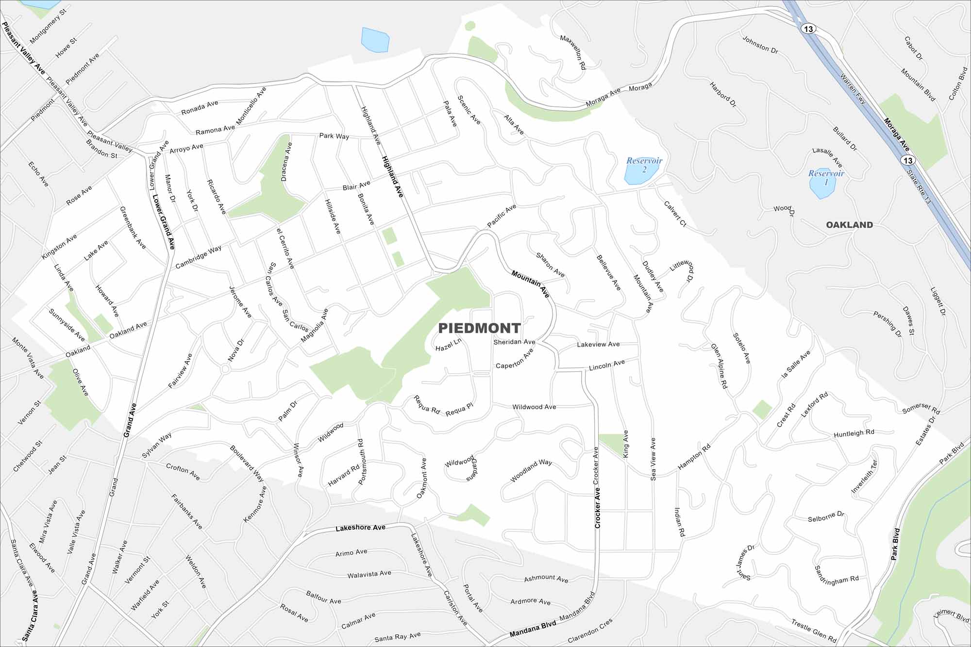
Piedmont is an enclave surrounded entirely by Oakland. Check out our map to see its residential streets in the East Bay hills.
California State Maps
Explore California with our state maps


Map Information
On the Map
Interstates/Highways: State Rte 13 Major Roads: Grand Ave, Oakland Ave, Moraga Ave, Mandana Blvd, Lakeshore Ave, Trestle Glen Rd, Park Blvd, Highland Ave, Wildwood Ave, Hampton Rd, Linda Ave, Olive Ave, Scenic Ave, Blair Ave, Crocker Ave, Estates Dr, La Salle Ave, Indian Rd, Sheridan Ave, Winsor Ave Lakes and Reservoirs: Reservoir 1, Reservoir 2 Nearby Communities: OaklandCalifornia City Maps
Here are detailed maps of California


