Map of Placentia, California
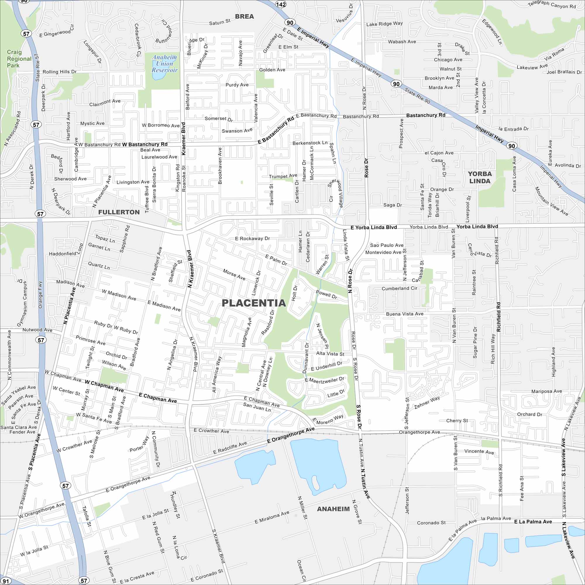
Our map of Placentia shows the suburban grid northeast of Anaheim. Residential neighborhoods dominate, with parks scattered throughout. The city is also known for its strong citrus-growing past.
California State Maps
Explore California with our state maps


Map Information
On the Map
Interstates/Highways: State Rte 57, State Rte 90, State Rte 142 Major Roads: Chapman Ave, Bastanchury Rd, Yorba Linda Blvd, Orangethorpe Ave, Imperial Hwy, Rose Dr, Kraemer Blvd, Placentia Ave, Tustin Ave, Jefferson St, Richfield Rd, Lakeview Ave, Crowther Ave, Madison Ave, Golden Ave, Valencia Ave, Bradford Ave, Palm Dr, Melrose St, La Jolla St Lakes and Reservoirs: Anaheim Union Reservoir Parks and Preserves: Craig Regional Park Nearby Communities: Brea, Yorba Linda, Fullerton, AnaheimCalifornia City Maps
Here are detailed maps of California


