Map of Yucca Valley, California
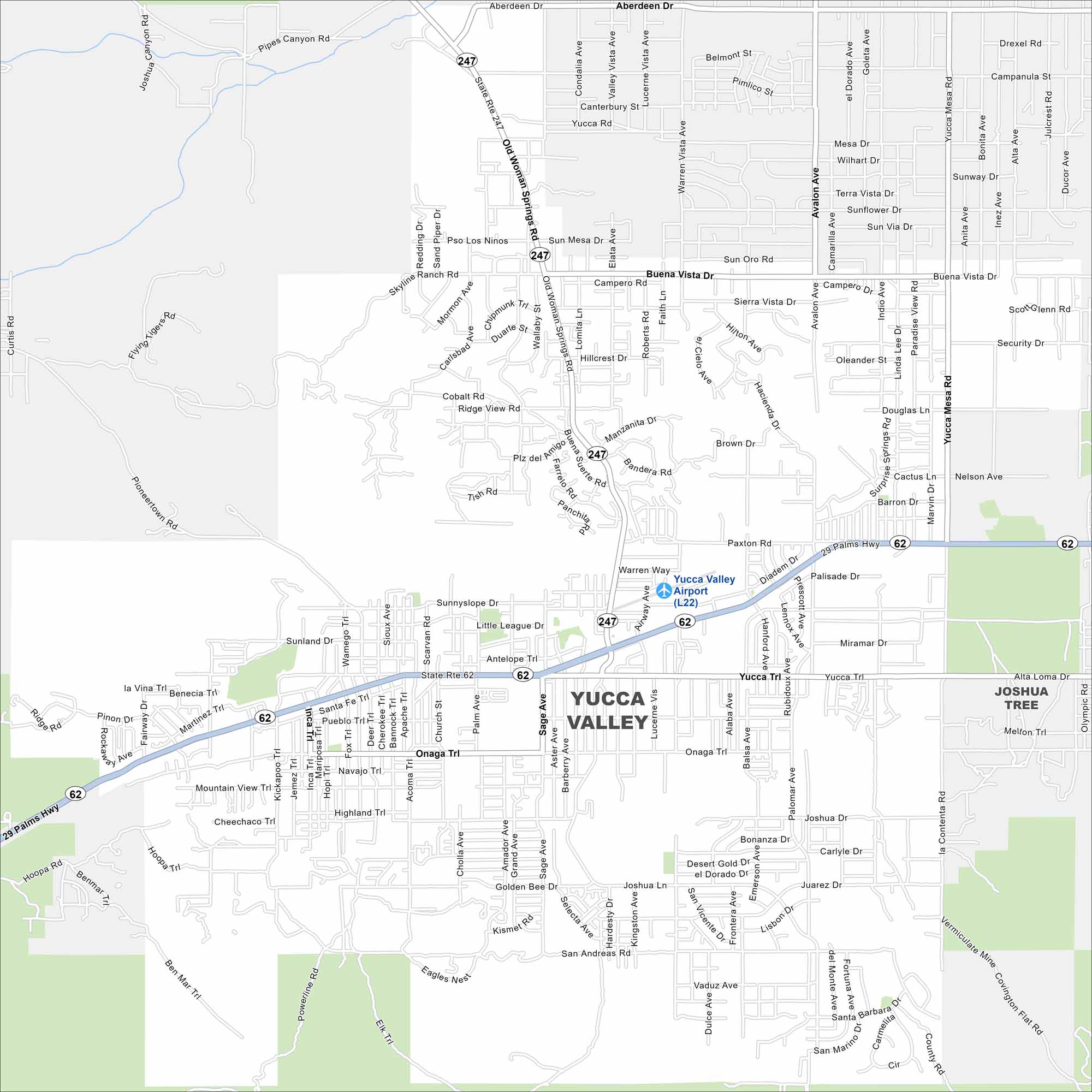
Get a snapshot of Yucca Valley, the gateway to Joshua Tree National Park. Desert views and wide-open skies define the area.
California State Maps
Explore California with our state maps


Map Information
On the Map
Interstates/Highways: State Rte 62, State Rte 247 Major Roads: 29 Palms Hwy, Old Woman Springs Rd, Yucca Trail, Onaga Trl, Buena Vista Dr, Avalon Ave, Sage Ave, Lucerne Vista Ave, Kickapoo Trl, Joshua Ln, Balsa Ave, Warren Way, Skyline Ranch Rd, Paxton Rd, Sunny Slope Dr, Airway Ave, Pioneertown Rd Airports: Yucca Valley Airport (L22) Nearby Communities: Joshua TreeCalifornia City Maps
Here are detailed maps of California


