Map of Port Hueneme, California
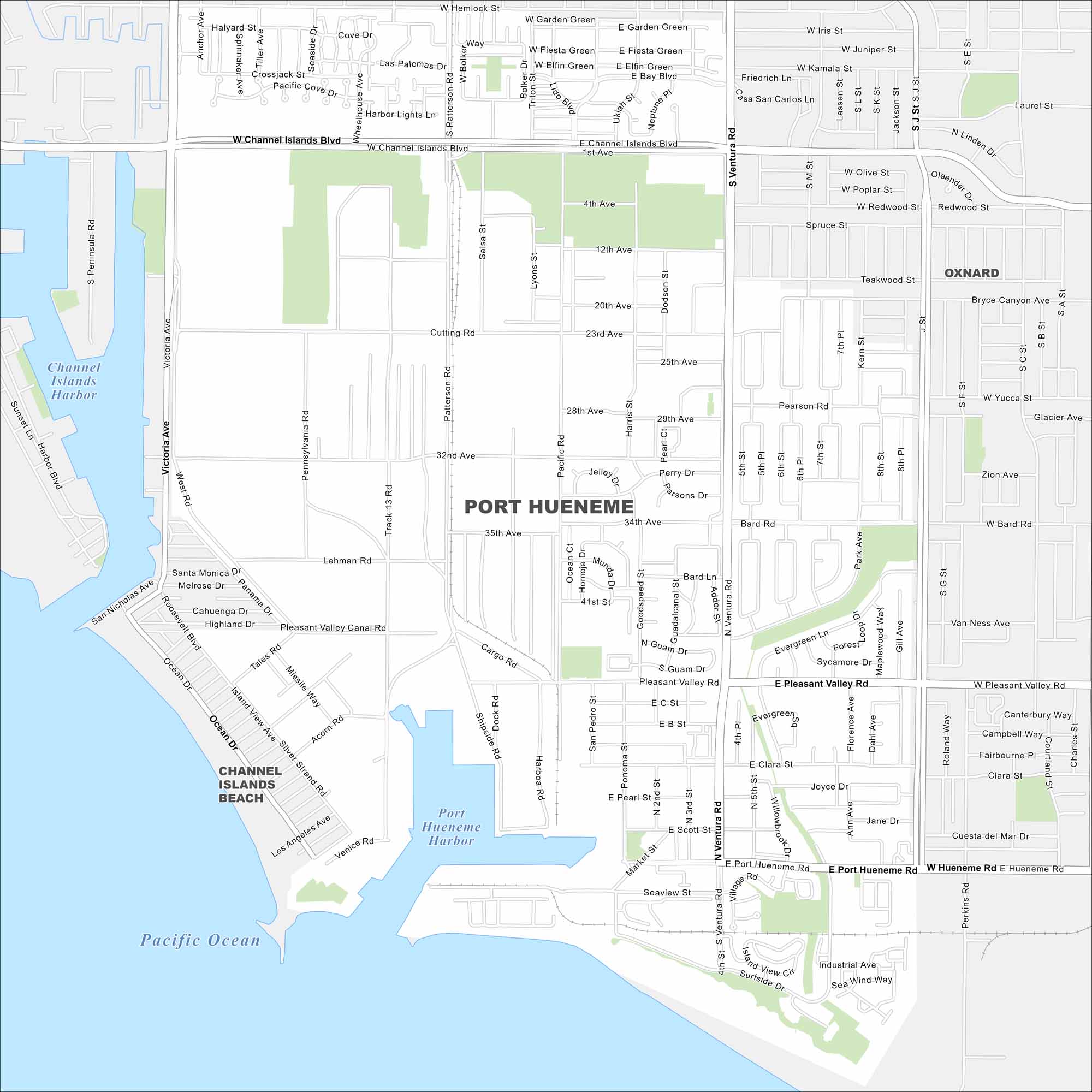
Check out Port Hueneme’s grid of streets leading straight to the Pacific coast. This map highlights its harbor and beach access. It’s the only deep-water harbor between Los Angeles and San Francisco.
California State Maps
Explore California with our state maps


Map Information
On the Map
Major Roads: Ventura Rd, Hueneme Rd, Channel Islands Blvd, Pleasant Valley Rd, Victoria Ave, Patterson Rd, Bard Rd, Surfside Dr, Market St, Perkins Rd, Teakwood St, Scott St, Clara St, Evergreen Ln, Park Ave, San Nicholas Ave, Ponoma St, Pearson Rd, Pacific Rd, Ocean Dr Lakes and Reservoirs: Pacific Ocean, Port Hueneme Harbor, Channel Islands Harbor Parks and Preserves: Hueneme Beach Park Nearby Communities: Oxnard, Channel Islands BeachCalifornia City Maps
Here are detailed maps of California


