Map of Porterville, California
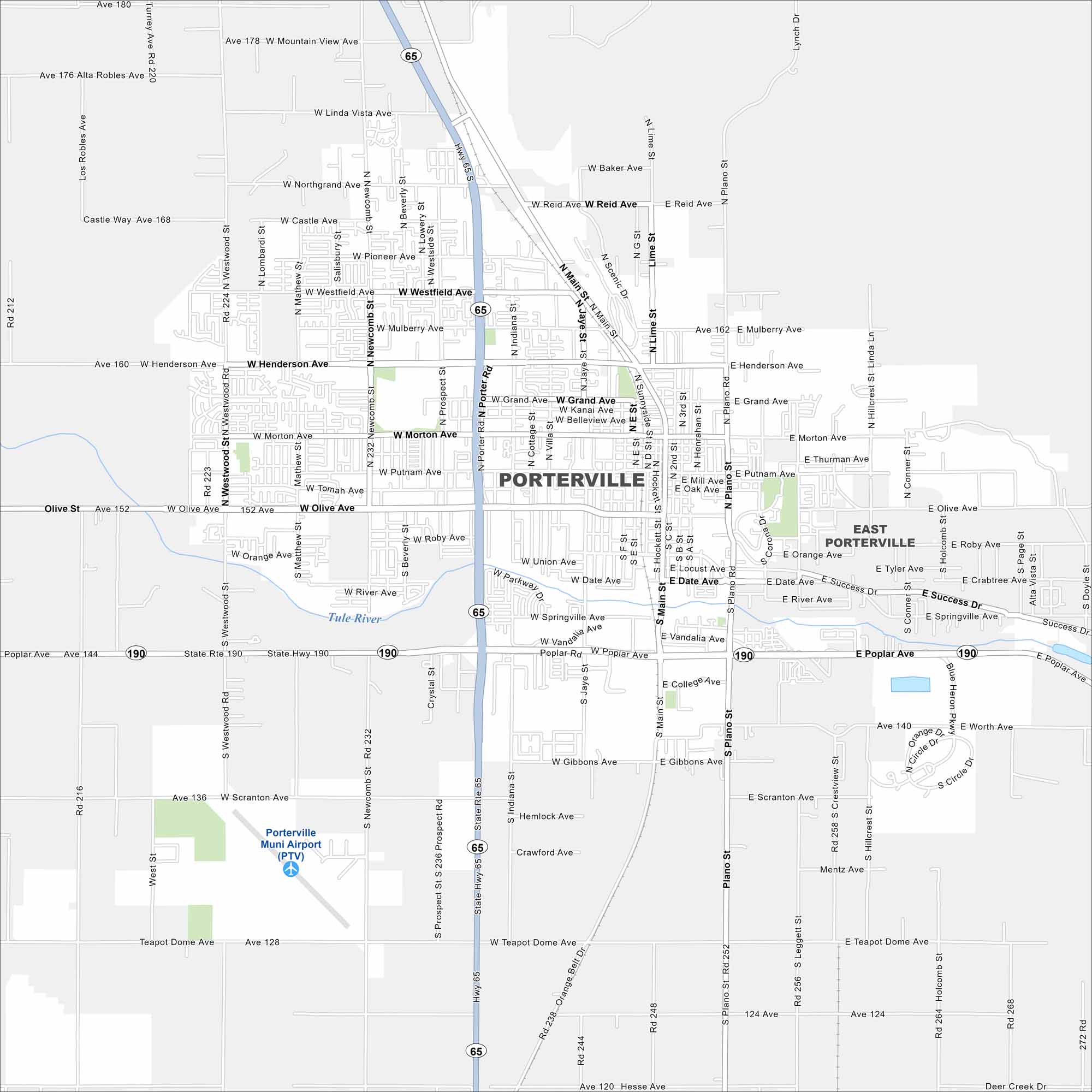
Porterville lies in the San Joaquin Valley with mountains rising to the east. Mostly farming surrounds the city. The nearby Sierra Nevada foothills have lots of hiking and outdoor activities.
California State Maps
Explore California with our state maps


Map Information
On the Map
Interstates/Highways: State Hwy 190, Hwy 65 Major Roads: Main St, Olive Ave, Henderson Ave, Poplar Ave, Morton Ave, Plano St, Grand Ave, Orange Ave, Westfield Ave, Jaye St, Westwood St, Newcomb St, Reid Ave, Porter Rd, Scranton Ave, River Ave, Tea Pot Dome Ave, College Ave, Mulberry Ave, Northgrand Ave Airports: Porterville Muni Airport (PTV) Major Rivers: Tule River Nearby Communities: East PortervilleCalifornia City Maps
Here are detailed maps of California


