Map of Princeton, New Jersey
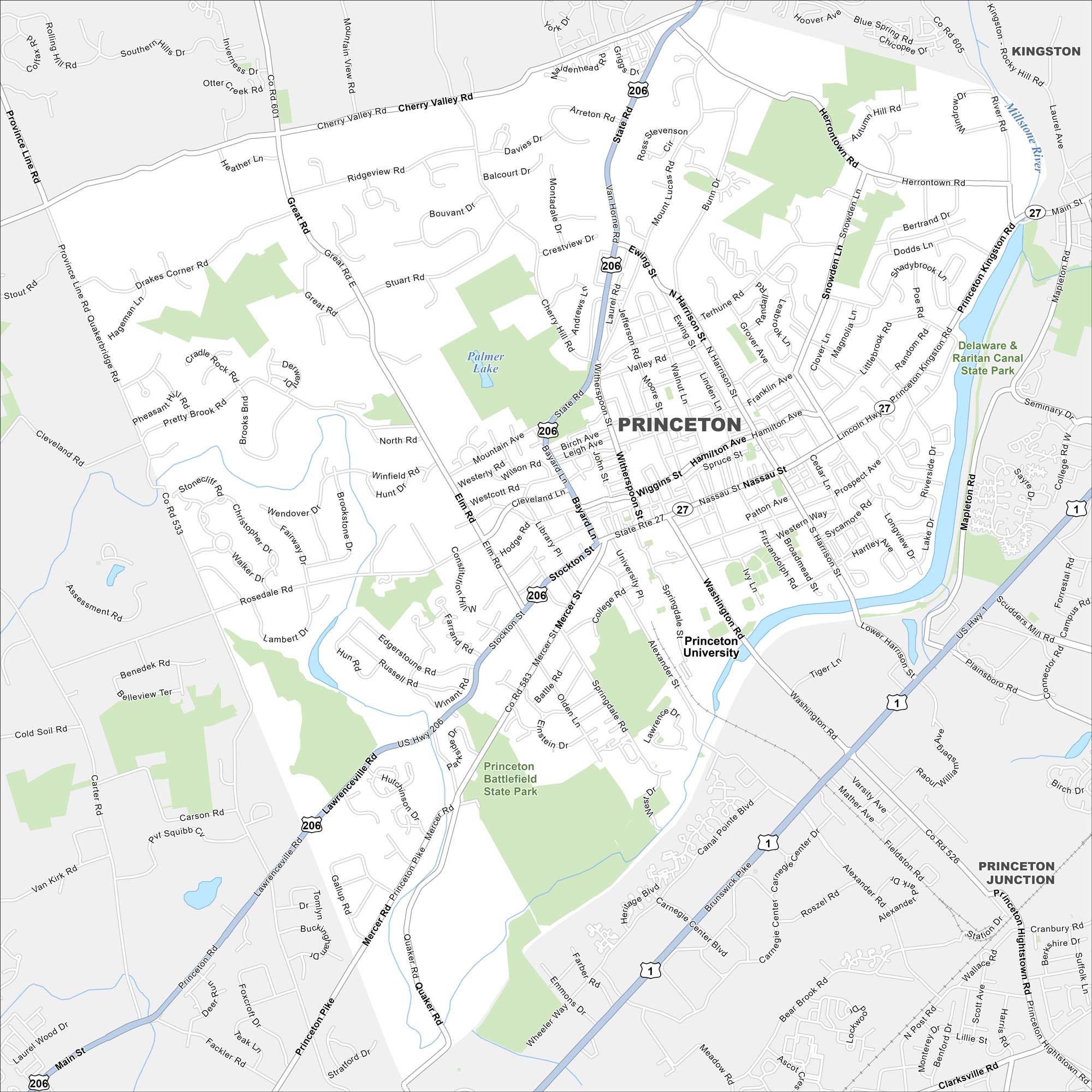
Home to Princeton University, the town has an Ivy League atmosphere. Our map shows the historic campus alongside the busy downtown streets. Many Revolutionary War events also unfolded here.
Map Information
On the Map
Interstates/Highways: US Hwy 206, US Hwy 1, State Rte 27 Major Roads: Nassau St, Washington Rd, Harrison St, Witherspoon St, Bayard Ln, Stockton St, Mercer St, Alexander St, Elm Rd, Great Rd, Cherry Valley Rd, Rosedale Rd, Lawrenceville Rd, Princeton Pike, Province Line Rd, Alexander Rd, Faculty Rd, Canal Pointe Blvd, Carnegie Center Blvd, Bear Brook Rd Lakes and Reservoirs: Palmer Lake Major Rivers: Millstone River Parks and Preserves: Princeton Battlefield State Park, Delaware & Raritan Canal State Park Nearby Communities: Kingston, Princeton JunctionNew Jersey State Maps
Explore maps from the Garden State.


City Maps of New Jersey
Newark and New Jersey cities in complete detail


