Map of Rancho Mirage, California
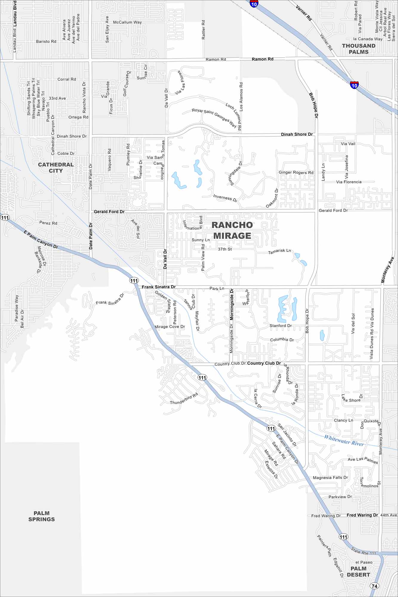
Known for golf courses and luxury resorts, Rancho Mirage sits in the Coachella Valley. Our road map helps you find your way around the desert neighborhoods.
California State Maps
Explore California with our state maps


Map Information
On the Map
Interstates/Highways: I-10, State Rte 111 Major Roads: Bob Hope Dr, Ramon Rd, Dinah Shore Dr, Gerald Ford Dr, Frank Sinatra Dr, Country Club Dr, Date Palm Rd, Da Vall Dr, San Jacinto Dr, Monterey Ave, Park Ln, Varner Rd, Los Alamos Rd, Palm View Rd, Morningside Dr, Mirage Cove Dr, Thunderbird Rd, Peterson Rd, Magnesia Falls Dr, Fred Waring Dr Major Rivers: Whitewater River Nearby Communities: Thousand Palms, Cathedral City, Palm Springs, Palm DesertCalifornia City Maps
Here are detailed maps of California


