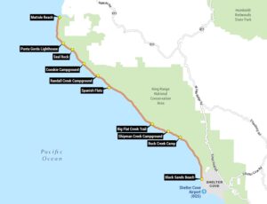
Central Coast Map
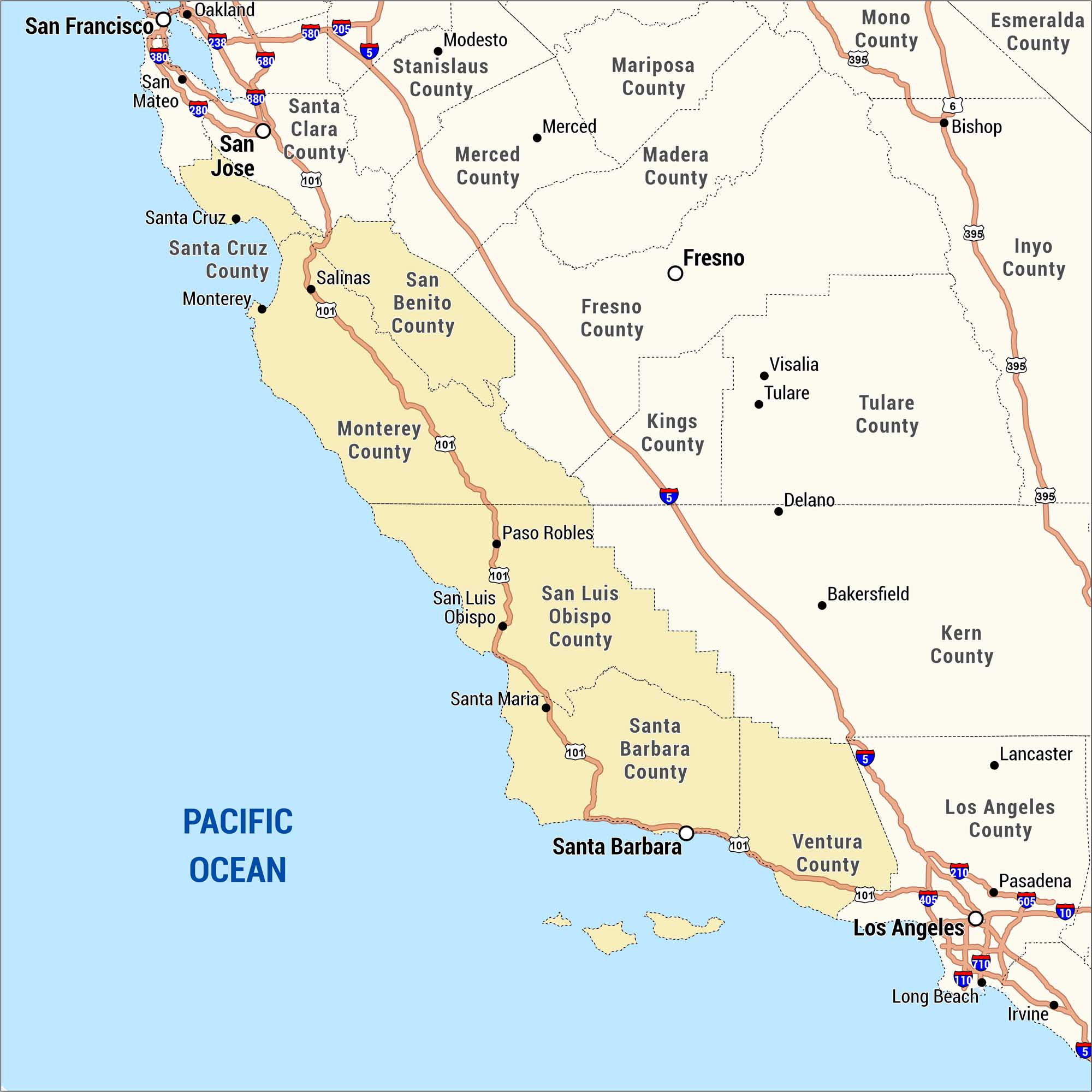
Check out our map of California’s Central Coast region, showing counties and major cities. We’ve highlighted in gold along the Pacific coastline running from Santa Cruz County south to Ventura County.
Map Information
On the Map
Central Coast Counties: Santa Cruz County, San Benito County, Monterey County, San Luis Obispo County, Santa Barbara County, Ventura County Central Coast Cities: Santa Cruz, Monterey, Salinas, Paso Robles, San Luis Obispo, Santa Maria, Santa Barbara Surrounding Counties: Santa Clara County, Stanislaus County, Merced County, Mariposa County, Madera County, Fresno County, Kings County, Tulare County, Kern County, Los Angeles County, Mono County, Esmeralda County, Inyo County Surrounding Cities: San Francisco, Oakland, San Mateo, San Jose, Modesto, Merced, Fresno, Visalia, Tulare, Delano, Bakersfield, Lancaster, Los Angeles, Pasadena, Long Beach, Irvine, Bishop Highways: I-5, I-101, I-280, I-380, I-405, I-580, I-605, I-680, I-710, I-210, US-6, US-395 Bodies of Water: Pacific OceanCoastal Region Maps
All coastal landscapes, maritime cultures, beaches, and islands.