Great Lakes Map
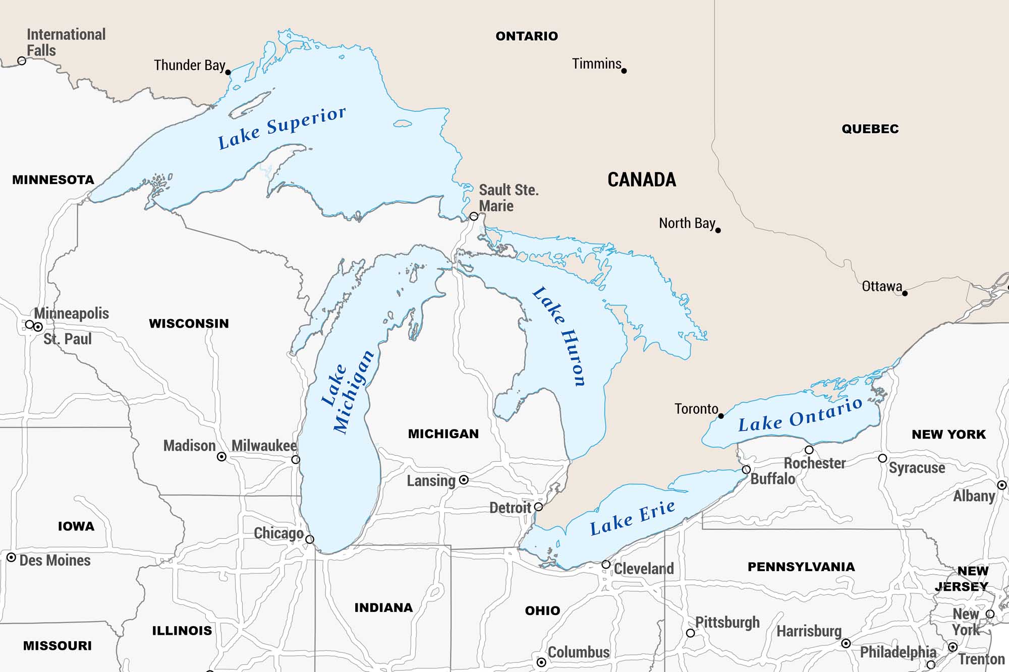
Our map is centered on the Great Lakes, showcasing all five lakes spanning the US-Canada border. The map covers surrounding US states and Canadian provinces with major cities.
Map Information
On the Map
Five Great Lakes: Lake Superior, Lake Michigan, Lake Huron, Lake Erie, Lake Ontario US States: Minnesota, Wisconsin, Michigan, Illinois, Indiana, Ohio, Pennsylvania, New York, New Jersey, Iowa, Missouri Canadian Provinces: Ontario, Quebec US Cities: International Falls, Minneapolis, St. Paul, Madison, Milwaukee, Chicago, Des Moines, Lansing, Detroit, Cleveland, Columbus, Pittsburgh, Buffalo, Rochester, Syracuse, Albany, Harrisburg, Philadelphia, New York, Trenton Canadian Cities: Thunder Bay, Sault Ste. Marie, Timmins, North Bay, Ottawa, TorontoReferences
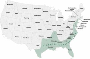
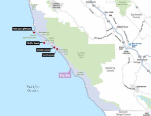
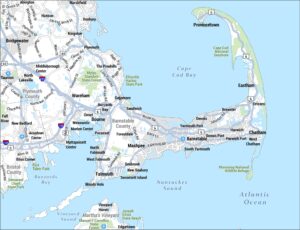
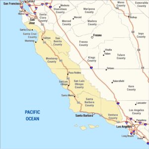
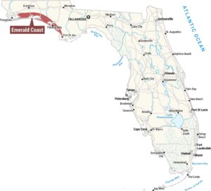
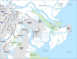
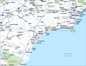
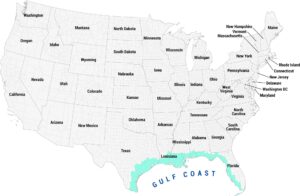
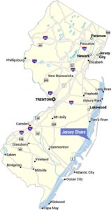
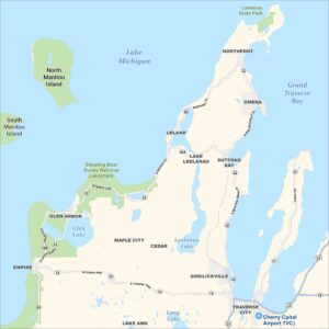
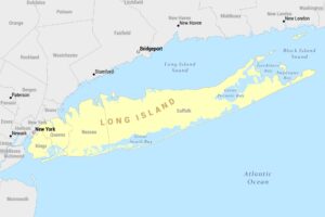
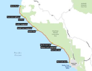
Coastal Region Maps
All coastal landscapes, maritime cultures, beaches, and islands.