Map of San Luis Obispo, California
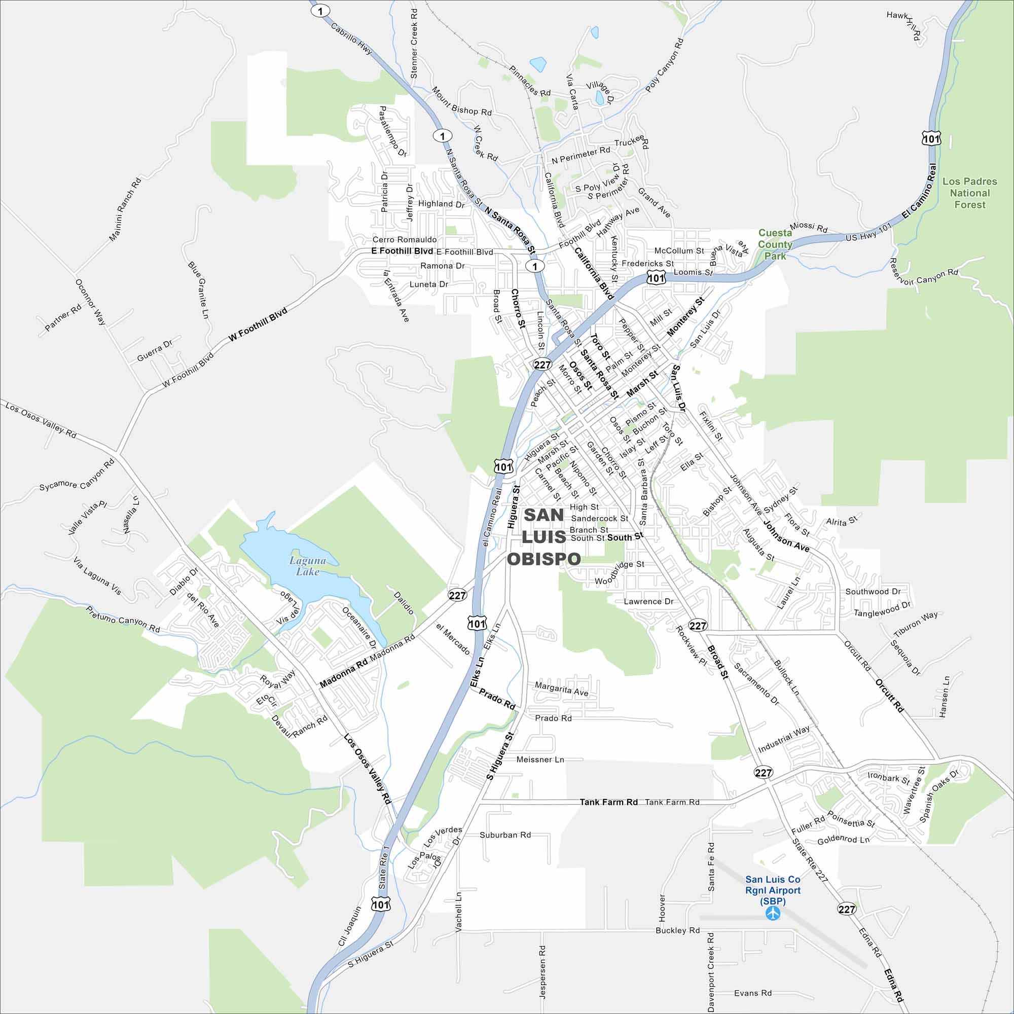
Our map of San Luis Obispo highlights downtown and the mission. From trails to wineries, you’ll see how the city is laid out. It’s a Central Coast favorite.
California State Maps
Explore California with our state maps


Map Information
On the Map
Interstates/Highways: US Hwy 101, State Rte 1, State Rte 227 Major Roads: El Camino Real, Santa Rosa St, Foothill Blvd, Madonna Rd, Los Osos Valley Rd, Higuera St, Marsh St, Broad St, Johnson Ave, Orcutt Rd, Tank Farm Rd, Buckley Rd, California Blvd, Monterey St, Mill St, Grand Ave, Prado Rd, South St, High St, Nipomo St Airports: San Luis Co Rgnl Airport (SBP) Lakes and Reservoirs: Laguna Lake Nearby Communities: Los Padres National Forest, Cuesta County Park, Cerro RomauldoCalifornia City Maps
Here are detailed maps of California


