Map of San Pablo, California
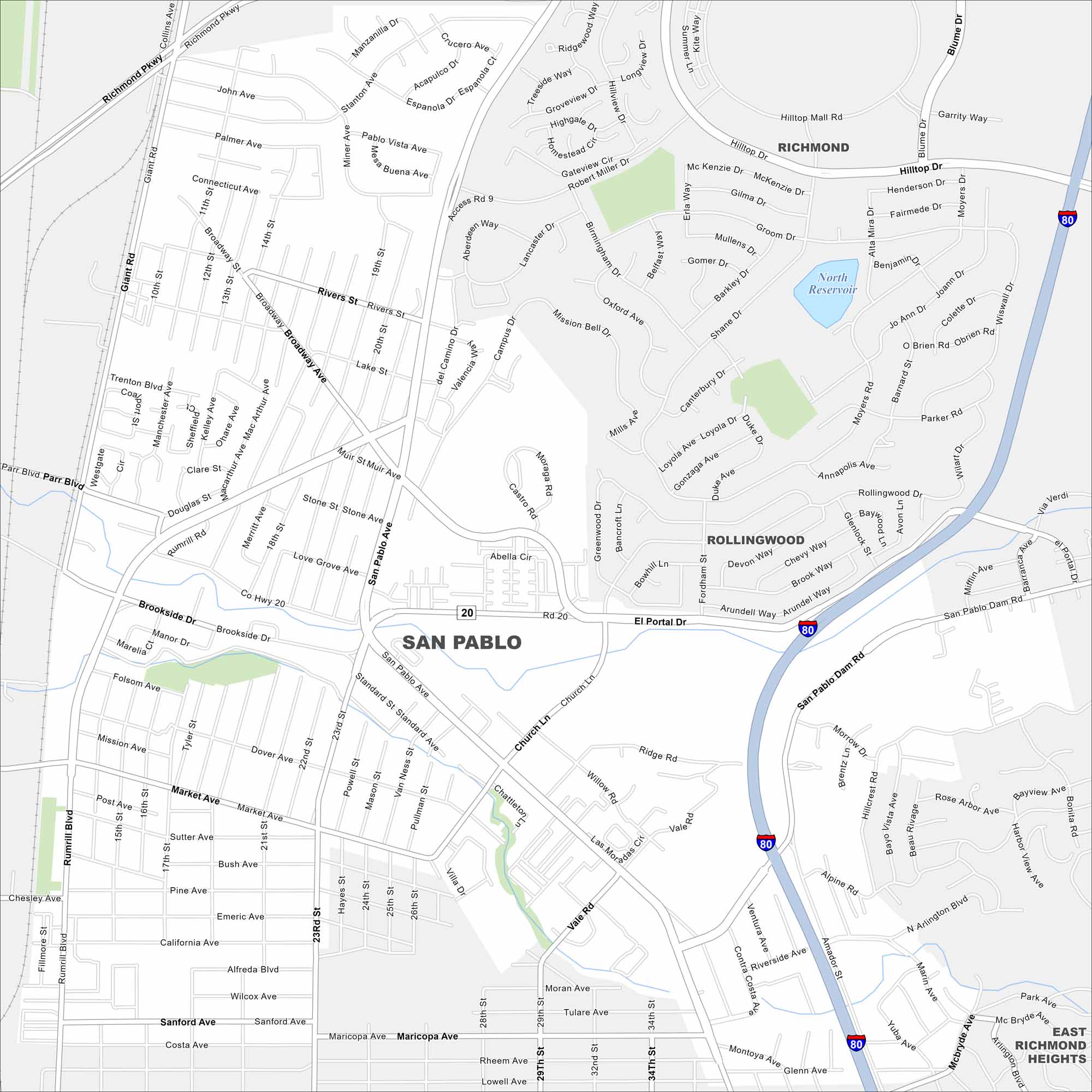
Our map of San Pablo shows the streets and neighborhoods of this East Bay community. It’s a straightforward guide to getting where you need to go.
California State Maps
Explore California with our state maps


Map Information
On the Map
Interstates/Highways: I-80 Major Roads: San Pablo Ave, San Pablo Dam Rd, 23rd St, Rumrill Rd, Market Ave, 13th St, Broadway, Richmond Pkwy, Giant Rd, El Portal Dr, Vale Rd, Willow Rd, Church Ln, Mission Bell Dr, Hilltop Dr, Hilltop Mall Rd, Lakeside Dr, Brookside Dr, Costa Ave, Riverside Ave Lakes and Reservoirs: North Reservoir Nearby Communities: Richmond, Rollingwood, East Richmond HeightsCalifornia City Maps
Here are detailed maps of California


