Map of Selma, California
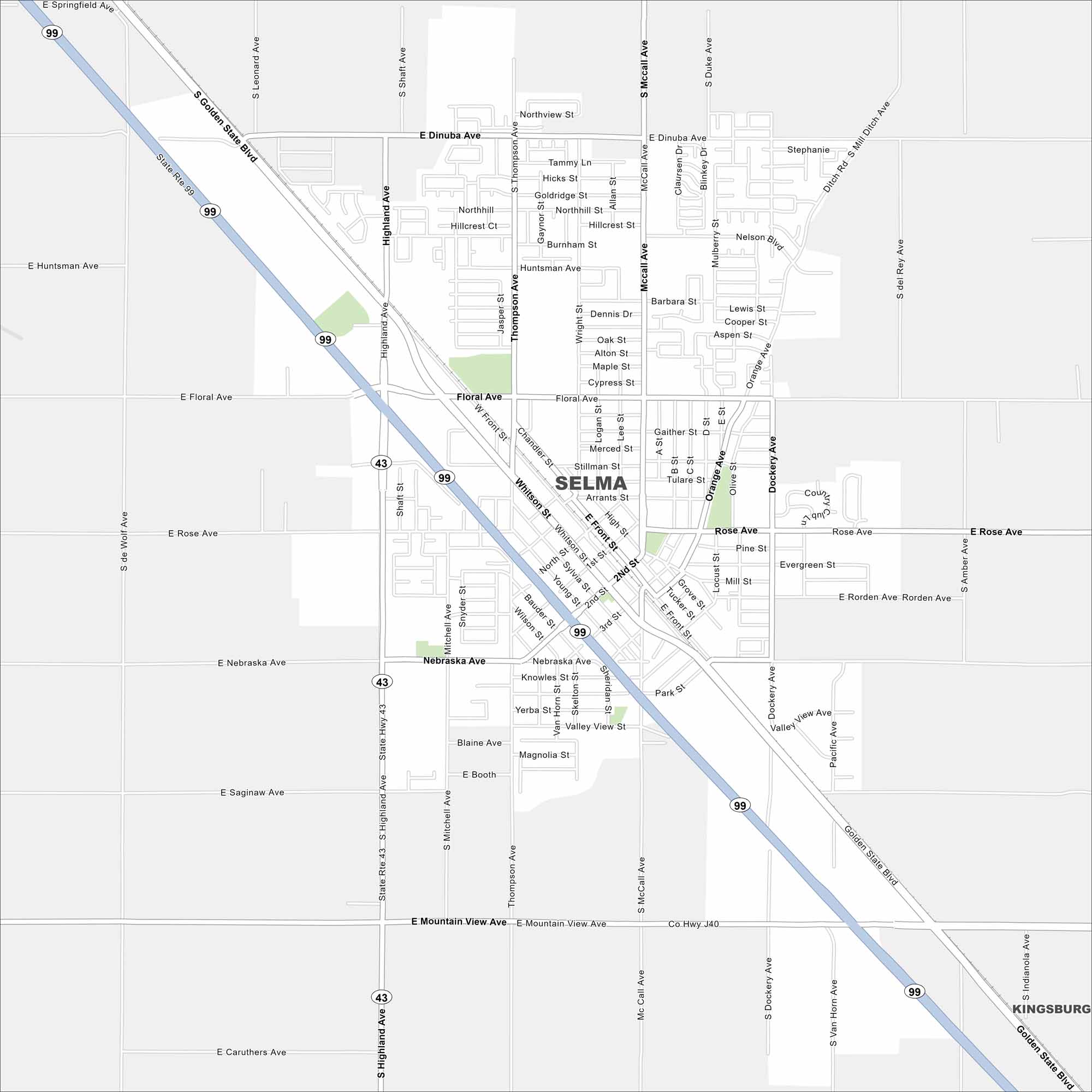
Here’s our map of Selma, right in the heart of the San Joaquin Valley. It’s known as the “Raisin Capital of the World”. Why? Well, 90% of raisins in America are produced within eight miles.
California State Maps
Explore California with our state maps


Map Information
On the Map
Interstates/Highways: State Rte 99, State Rte 43 Major Roads: Highland Ave, McCall Ave, Floral Ave, Whitson St, Dinuba Ave, Nebraska Ave, Front St, 2nd St, Rose Ave, Thompson Ave, Golden State Blvd, Mountain View Ave, Huntsman Ave, Saginaw Ave, Caruthers Ave, Manning Ave, Mitchell Ave, Orange Ave, Dockery Ave Nearby Communities: KingsburgCalifornia City Maps
Here are detailed maps of California


