Map of Shelton, Connecticut
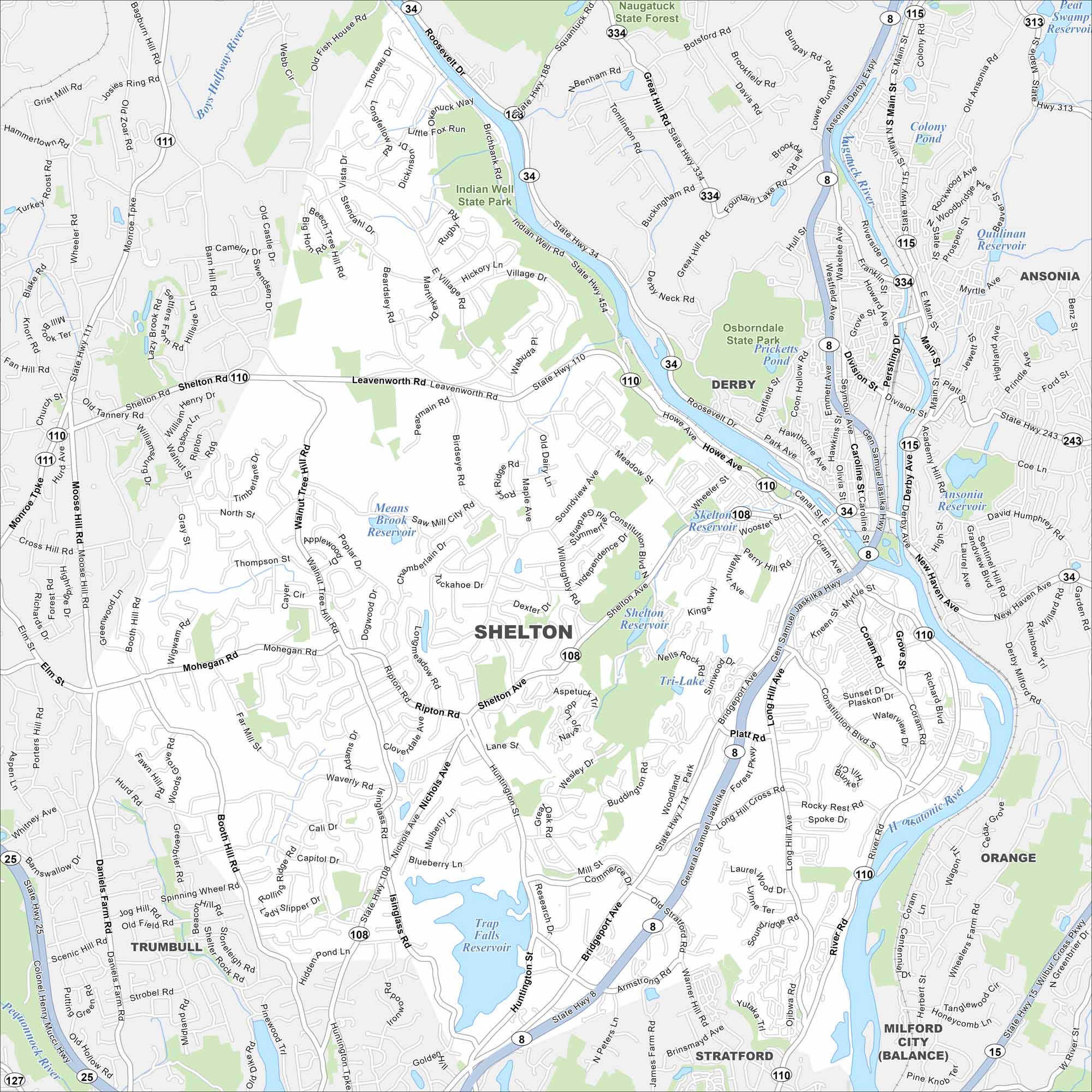
Our map of Shelton highlights this Naugatuck Valley town. With rivers, parks, and a mix of old and new neighborhoods, it’s easy to explore.
Connecticut State Maps
Here’s your getaway to Connecticut geography


Map Information
On the Map
Interstates/Highways: State Rte 8, State Rte 15, State Rte 25, State Rte 34, State Rte 108, State Rte 110, State Rte 111, State Rte 115, State Rte 313, State Rte 334, State Rte 454 Major Roads: Bridgeport Ave, Shelton Ave, Howe Ave, River Rd, Leavenworth Rd, Walnut Tree Hill Rd, Mohegan Rd, Isinglass Rd, Huntington St, Center St, Main St, Pershing Dr, Division St, Derby Ave, New Haven Ave, Old Stratford Rd, Nichols Ave, Booth Hill Rd, Daniels Farm Rd, Monroe Tpke Lakes and Reservoirs: Shelton Reservoir, Trap Falls Reservoir, Means Brook Reservoir, Tri-Lake, Pricketts Pond, Colony Pond, Quillinan Reservoir, Peat Swamp Reservoir, Ansonia Reservoir Major Rivers: Housatonic River, Naugatuck River, Far Mill River, Pequonnock River, Boys Halfway River Parks and Preserves: Indian Well State Park, Osbornedale State Park, Naugatuck State Forest Nearby Communities: Derby, Ansonia, Trumbull, Stratford, OrangeConnecticut City Maps
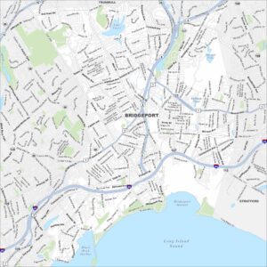
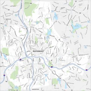
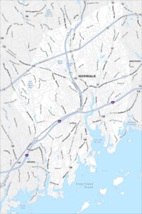
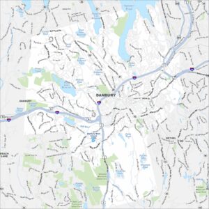
Browse Hartford and Connecticut’s city centers