Map of South Gate, California
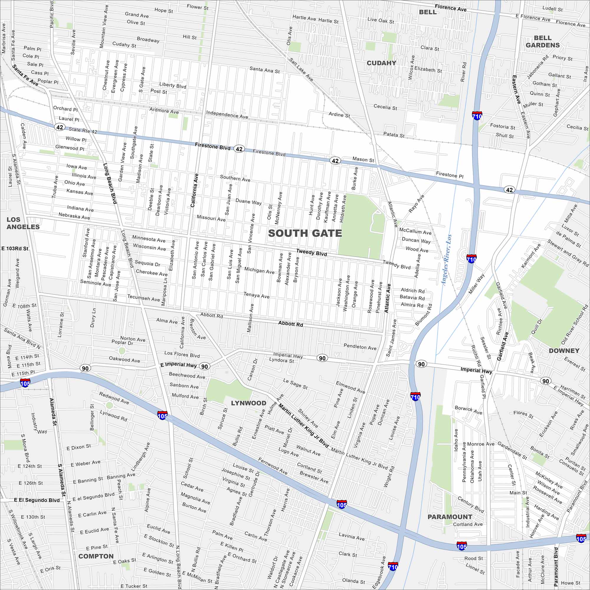
Our map of South Gate helps you find your way around Los Angeles County. It’s a community with busy streets, schools, and neighborhood parks.
California State Maps
Explore California with our state maps


Map Information
On the Map
Interstates/Highways: I-710, I-105, State Rte 42, State Rte 90, Imperial Hwy Major Roads: Firestone Blvd, Atlantic Ave, Long Beach Blvd, Tweedy Blvd, Alameda St, Santa Fe Ave, Southern Ave, Abbott Rd, Garfield Ave, Paramount Blvd, Wright Rd, Southern Ave, Rayo Ave, Otis St, California Ave, State St, San Juan Ave Major Rivers: Los Angeles River Nearby Communities: Los Angeles, Cudahy, Bell, Bell Gardens, Lynwood, Paramount, Downey, ComptonCalifornia City Maps
Here are detailed maps of California


