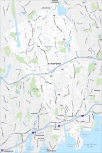
Map of Stamford, Connecticut
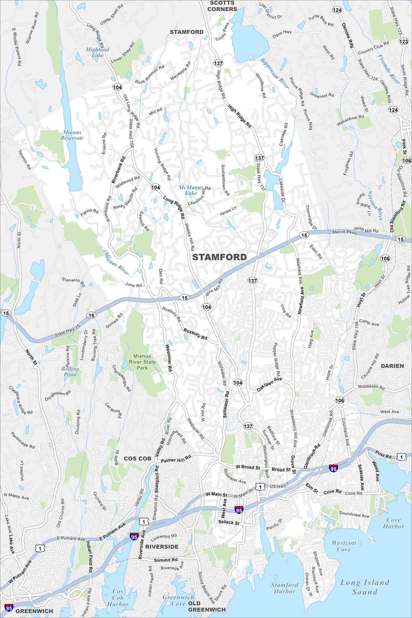
Our map of Stamford highlights the waterfront and busy downtown. The city blends corporate towers with harborside parks and neighborhoods.
Connecticut State Maps
Here’s your getaway to Connecticut geography


Map Information
On the Map
Interstates/Highways: I-95, US Hwy 1, State Rte 15, State Rte 104, State Rte 106, State Rte 123, State Rte 124, State Rte 137 Major Roads: Washington Blvd, Broad St, Main St, West Ave, Tresser Blvd, High Ridge Rd, Long Ridge Rd, Newfield Ave, Hope St, Glenbrook Rd, Stillwater Ave, Westover Rd, Roxbury Rd, Den Rd, Wire Mill Rd, Eden Rd, Lakeside Dr, Shippan Ave, Cove Rd, Seaside Ave Lakes and Reservoirs: Long Island Sound, Stamford Harbor, Westcott Cove, Cove Harbor, Mianus Reservoir, Highland Lake, McManus Lake, Boiling Pond Major Rivers: Mianus River, Rippowam River, Noroton River, Five Mile River Parks and Preserves: Mianus River State Park Nearby Communities: Greenwich, Darien, Cos Cob, Riverside, Scotts Corners, StamfordConnecticut City Maps
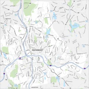
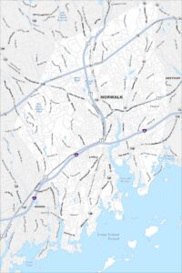
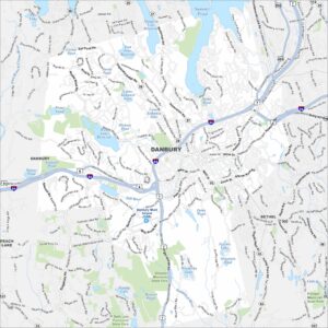
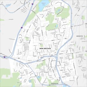
Browse Hartford and Connecticut’s city centers