Map of Stanton, California
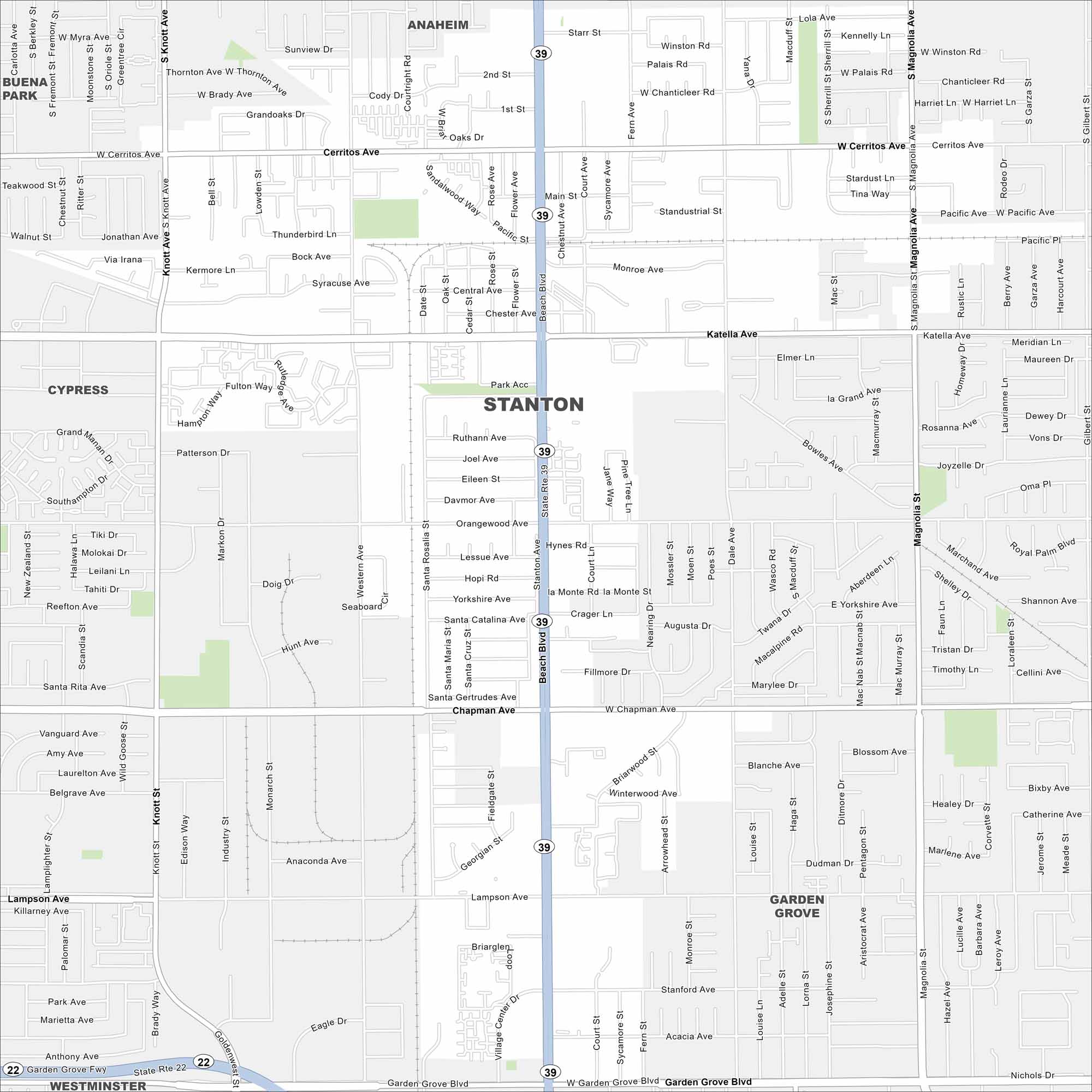
Here’s our map of Stanton in northern Orange County. It’s a small but lively community tucked between larger cities. The city is known for its close proximity to Anaheim.
California State Maps
Explore California with our state maps


Map Information
On the Map
Interstates/Highways: State Rte 39, State Rte 22 Major Roads: Beach Blvd, Katella Ave, Chapman Ave, Garden Grove Blvd, Cerritos Ave, Knott Ave, Magnolia Ave, Western Ave, Pacific Ave, Lampson Ave, Gilbert St, Monroe Ave, Central Ave, Dale St Nearby Communities: Buena Park, Anaheim, Cypress, Garden Grove, WestminsterCalifornia City Maps
Here are detailed maps of California


