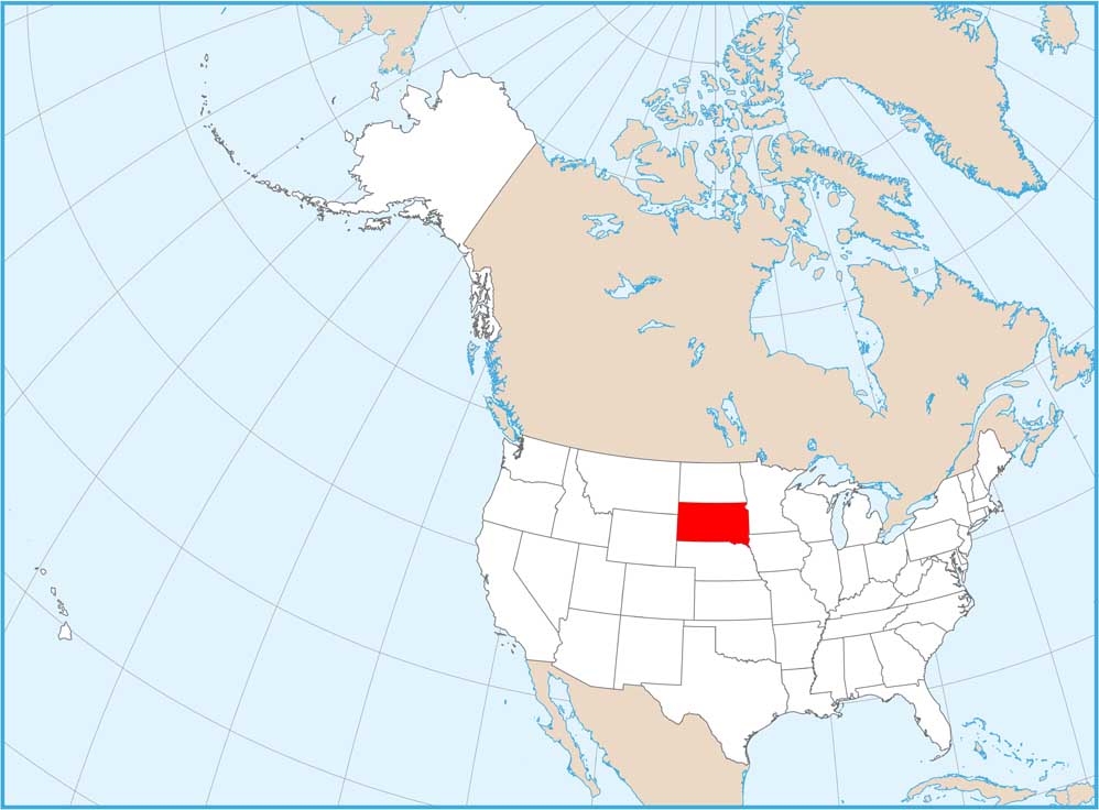
South Dakota National Parks and Forests Map
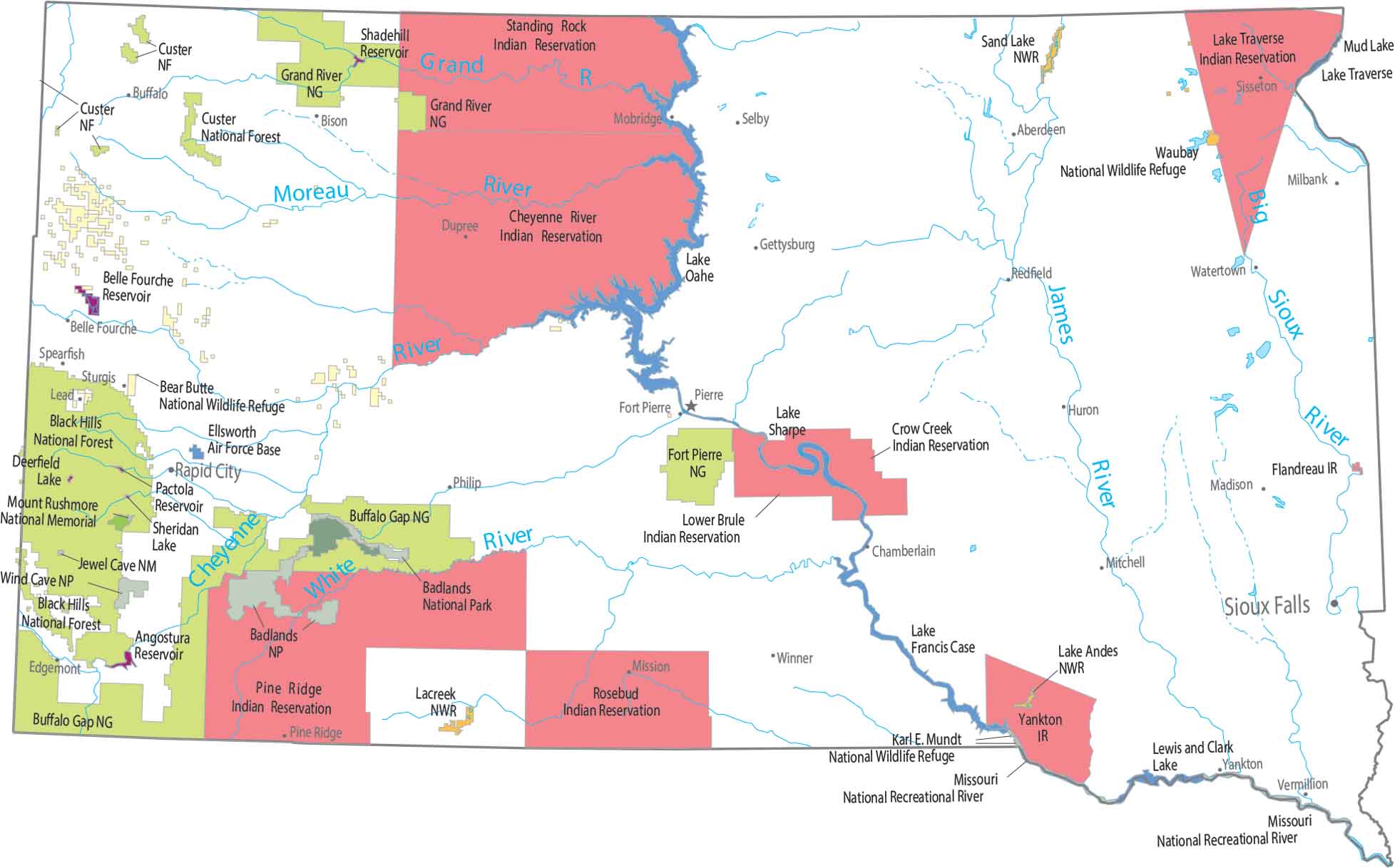
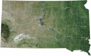
Our map splits at the Missouri River. Plains are situated are to the east, while Badlands and Black Hills are to the west. You’ll find all sorts of federal lands here like Wind Cave National Park and Mount Rushmore.
Map Information
On the Map
Parks, Forests and Federal Lands
National Parks (NP): Badlands NP, Wind Cave NP National Memorials (NM): Mount Rushmore NM National Forests (NF): Black Hills NF, Custer NF National Wildlife Refuges (NWR): Bear Butte NWR, Karl E. Mundt NWR, Lacreek NWR, Lake Andes NWR, Sand Lake NWR, Waubay NWR National Grasslands (NG): Buffalo Gap NG, Fort Pierre NG, Grand River NG Other Federal Lands: Jewel Cave National Monument, Missouri National Recreational River Indian Reserves (IR): Cheyenne River IR, Crow Creek IR, Flandreau IR, Lake Traverse IR, Lower Brule IR, Pine Ridge IR, Rosebud IR, Standing Rock IR, Yankton IR Army, Naval and Military: Ellsworth Air Force BaseLand Information
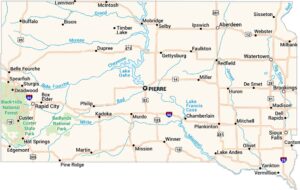
State Capital: Pierre Major Cities: Aberdeen, Rapid City, Sioux Falls Cities and Towns: Belle Fourche, Bison, Buffalo, Chamberlain, Dupree, Edgemont, Gettysburg, Huron, Ipswich, Madison, Milbank, Mission, Mitchell, Mobridge, Philip, Pine Ridge, Redfield, Selby, Sisseton, Spearfish, Sturgis, Vermillion, Watertown, Winner, Yankton Lakes and Reservoirs: Angostura Reservoir, Belle Fourche Reservoir, Deerfield Lake, Lake Francis Case, Lake Oahe, Lake Sharpe, Lake Traverse, Lewis and Clark Lake, Mud Lake, Pactola Reservoir, Shadehill Reservoir, Sheridan Lake Rivers and Streams: Big Sioux River, Cheyenne River, Grand River, James River, Moreau River, White RiverSouth Dakota State Maps
View maps from the prairies to the Black Hills.