Wind Cave National Park Map
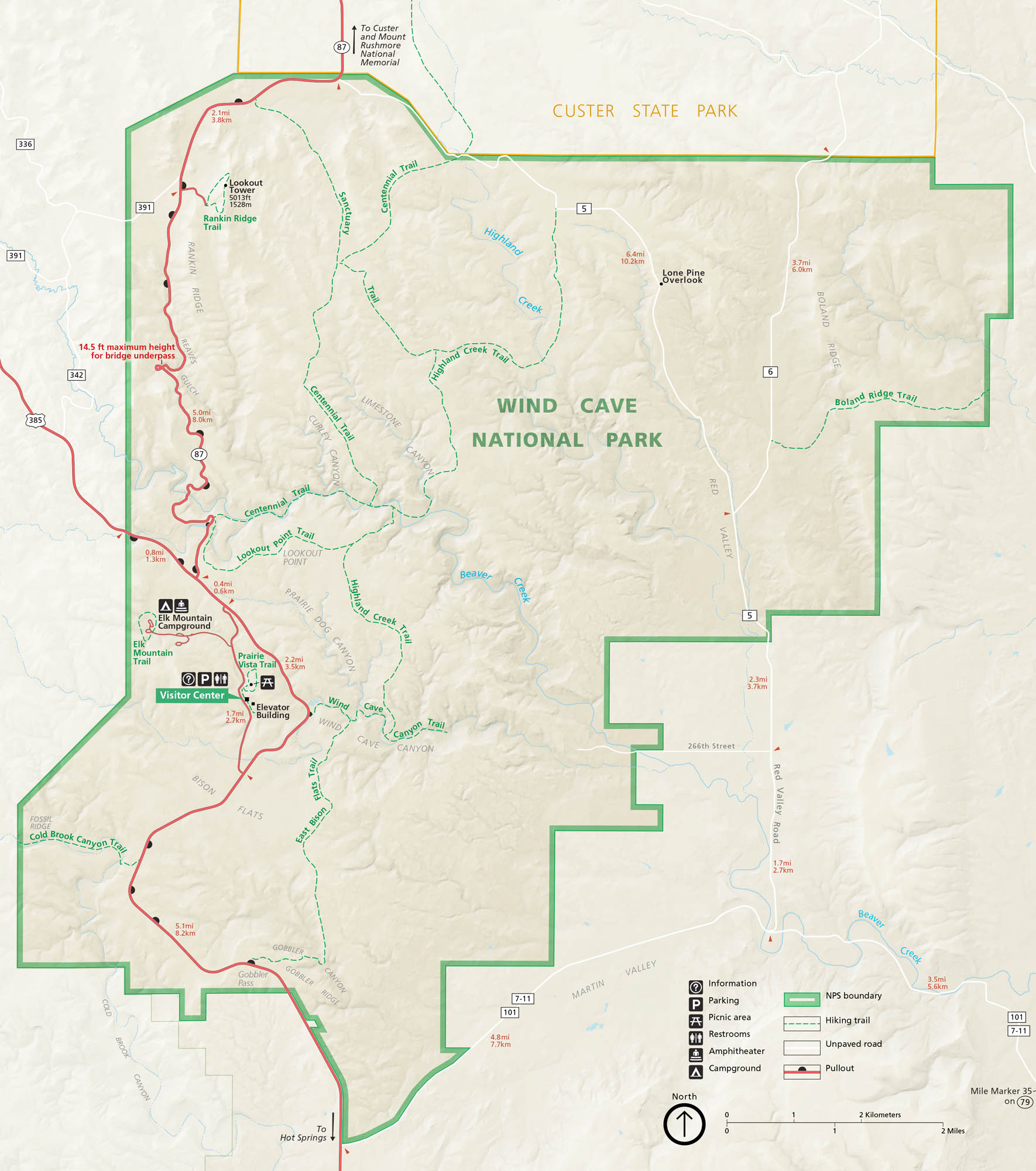
Wind Cave National Park is quiet on the surface but vast below. Our map shows the rolling prairies, forested hills, and the maze of trails that twist around. You’ll find bison herds roaming above and one of the world’s longest caves beneath your feet. It’s South Dakota’s hidden world on our map of Wind Cave National Park.
Map Information
On the Map
Parks: Wind Cave National Park, Custer State Park Highways/Roads: US Hwy 385, State Rte 87, State Rte 36, Red Valley Rd, 266th St Creekss: Beaver Creek, Highland Creek, Cold Brook Creek Cities/Towns: Hot Springs Campgrounds/Park Sites: Elk Mountain Campground Other Landmarks: Rankin Ridge, Lookout Tower, Elevator Building, Bison Flats, Boland Ridge, Red Valley, Prairie Dog Canyon, Wind Cave Canyon, Gobbler RidgeNational Park Maps
Find maps of green spaces and national parks near you.


