Map of Sun Prairie, Wisconsin
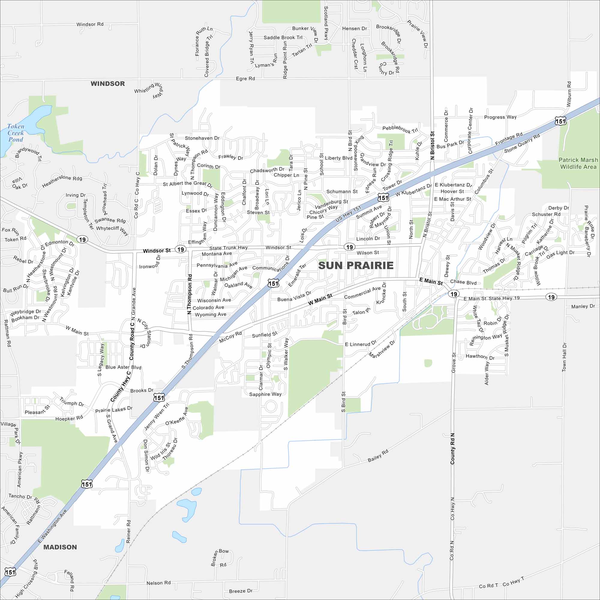
Our map of Sun Prairie helps you find your way around town. The community is known for its annual sweet corn festival and local energy.
Map Information
On the Map
Interstates/Highways: US Hwy 151, State Rte 19 Major Roads: Main St, Windsor St, Grand Ave, Bristol St, Thompson Rd, Bird St, Grove St, Tower Dr, Columbus St, Linnerud Dr, Clarmar Dr, Walker Way, Reiner Rd, O’Keeffe Ave, Town Hall Rd, Stone Quarry Rd, Blue Aster Blvd, Ironwood Dr, McCoy Rd, Sunfield St Lakes and Reservoirs: Token Creek Pond Parks and Preserves: Patrick Marsh Wildlife Area Nearby Communities: Windsor, MadisonWisconsin State Maps
Discover maps of the Badger State.


City Maps of Wisconsin
See our Wisconsin maps designed for clarity.


