Santa Monica Pier Map
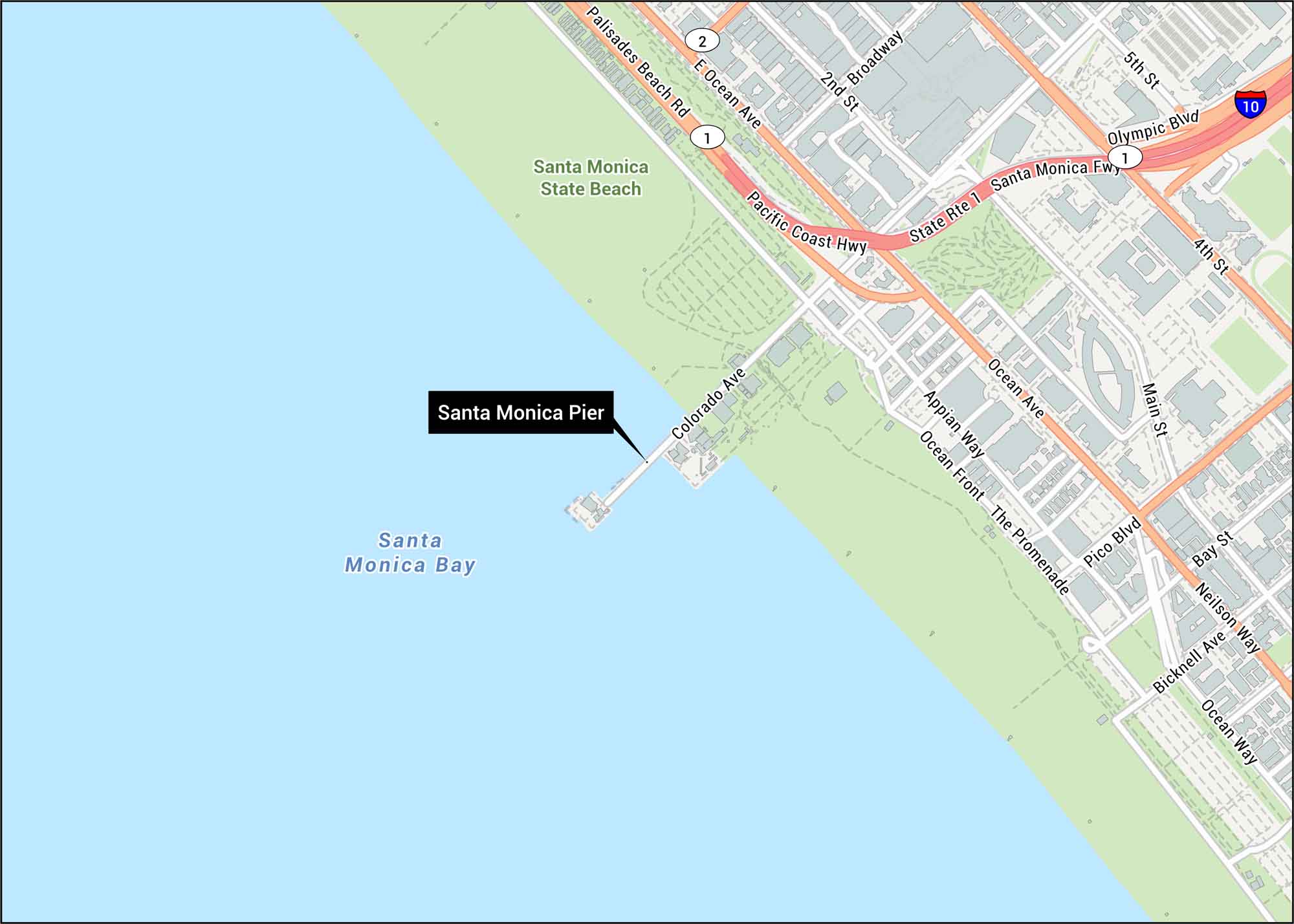
Step into Santa Monica with our street map showing the iconic pier. You’ll find Ocean Avenue and Pacific Coast Highway running along the coastline. Our map displays the pier’s location at the end of Colorado Avenue within the Pacific Ocean.
Map Information
On the Map
Interstates/Highways: I-10, State Rte 1, Pacific Coast Hwy, Santa Monica Fwy Major Roads: Ocean Ave, Colorado Ave, Olympic Blvd, Broadway, Main St, Pico Blvd, 2nd St, 4th St, 5th St, Bay St, Neilson Way, Bicknell Ave, Ocean Way, Appian Way, Ocean Front, The Promenade, Palisades Beach Rd, E Ocean Ave Water Bodies: Santa Monica Bay Parks/Forests: Santa Monica State BeachTourist Maps in California
Discover all the prime locations with our tourist maps.