Map of Susanville, California
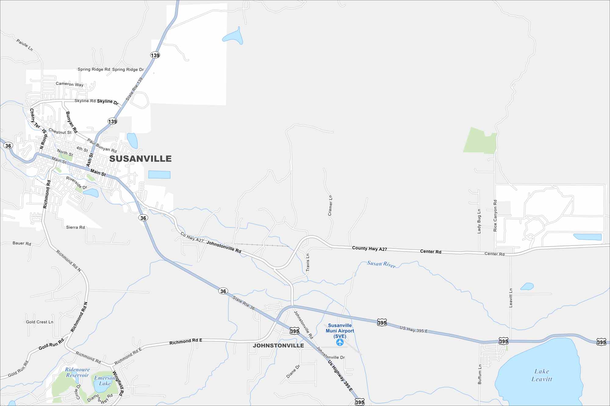
Here’s our map of Susanville, a town surrounded by trails and open land. It’s a popular stop for outdoor adventures in northeastern California.
California State Maps
Explore California with our state maps


Map Information
On the Map
Interstates/Highways: State Rte 139, State Rte 36, US Hwy 395, US Hwy 395 E Major Roads: Main St, Johnstonville Rd, Richmond Rd, Richmond Rd N, Richmond Rd E, County Hwy A27, Skyline Dr, Spring Ridge Dr, Paul Bunyan Rd, Ash St, Riverside Dr, Center Rd, Rice Canyon Rd, Leavitt Ln, Gold Run Rd, Wingfield Rd, Diane Dr, Sunnyside Rd Airports: Susanville Muni Airport (SVE) Lakes and Reservoirs: Ridenoure Reservoir, Emerson Lake, Lake Leavitt Major Rivers: Susan River Nearby Communities: JohnstonvilleCalifornia City Maps
Here are detailed maps of California


