Map of Tulare, California
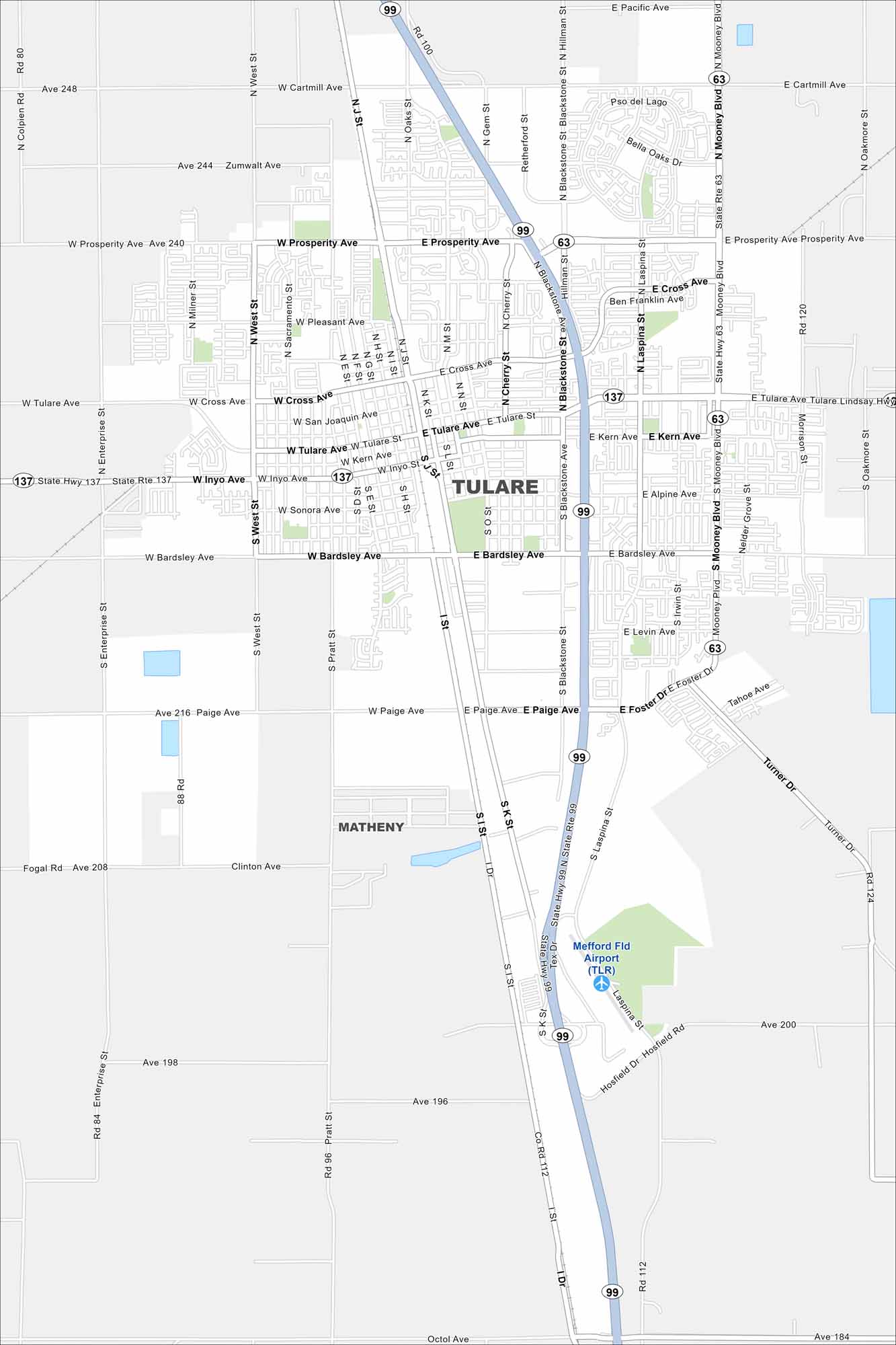
Our map of Tulare highlights its Central Valley setting. Surrounded by farmland, it’s tied to agriculture and the annual World Ag Expo.
California State Maps
Explore California with our state maps


Map Information
On the Map
Interstates/Highways: State Hwy 99, State Rte 137, State Rte 63 Major Roads: Tulare Ave, Prosperity Ave, Bardsley Ave, Blackstone St, Mooney Blvd, Paige Ave, Inyo Ave, West St, Cartmill Ave, J St, K St, M St, Cherry St, Pratt St, Cross Ave, Kern Ave, San Joaquin Ave, Enterprise St, Zumwalt Ave, Clinton Ave Airports: Mefford Fld Airport (TLR) Nearby Communities: MathenyCalifornia City Maps
Here are detailed maps of California


