Map of Twentynine Palms, California
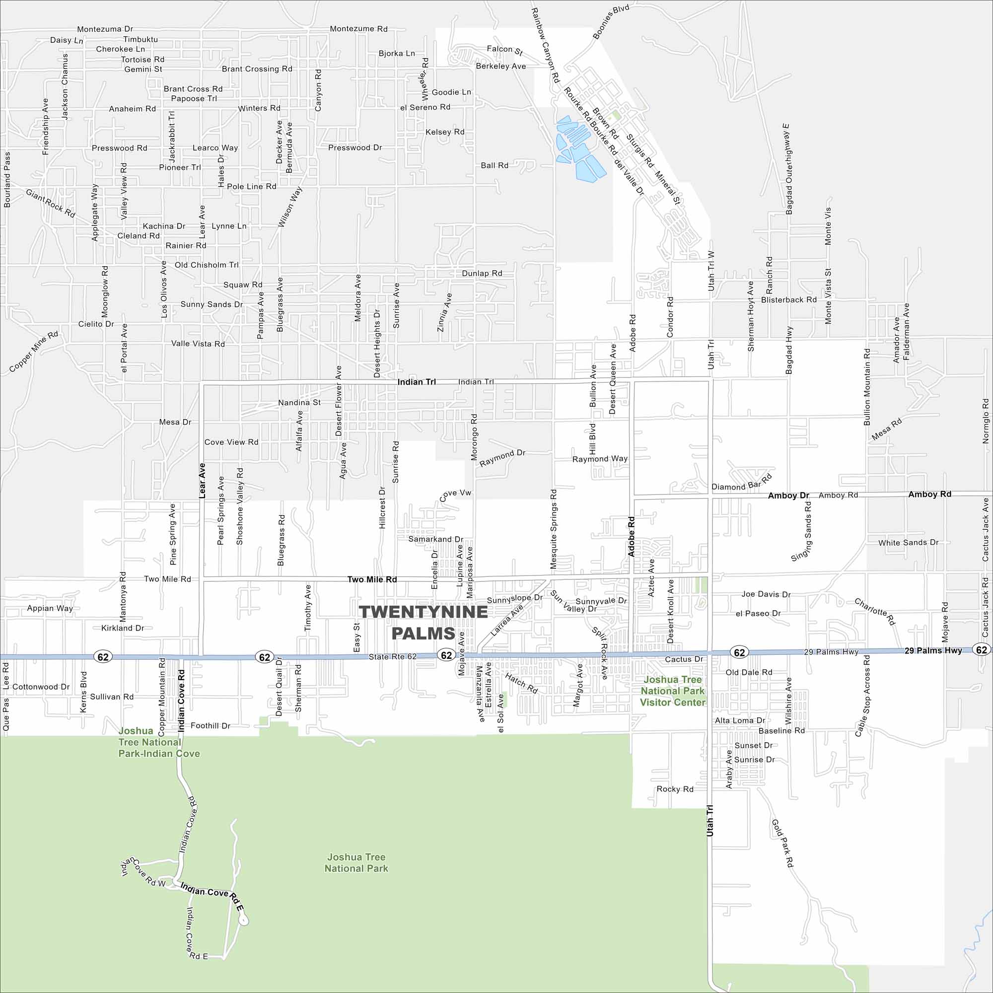
Here’s a map of Twentynine Palms in the Mojave Desert. You’ll find it just north of Joshua Tree National Park, which covers the south section of our map.
California State Maps
Explore California with our state maps


Map Information
On the Map
Interstates/Highways: State Rte 62 Major Roads: 29 Palms Hwy, Amboy Rd, Utah Trl, Lear Ave, Adobe Rd, Indian Trl, Two Mile Rd, Mesquite Springs Rd, Bullion Mountain Rd, Cactus Dr, Baseline Rd, Sunrise Rd, National Park Dr, Copper Mountain Rd, Valle Vista Rd, Iron Age Rd, Gold Park Rd, Encelia Ave, Morongo Rd, Desert Queen Ave Parks and Preserves: Joshua Tree National Park, Joshua Tree National Park Visitor CenterCalifornia City Maps
Here are detailed maps of California


