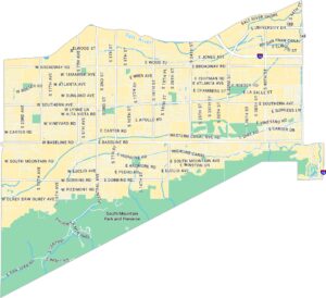
Downtown Phoenix Map
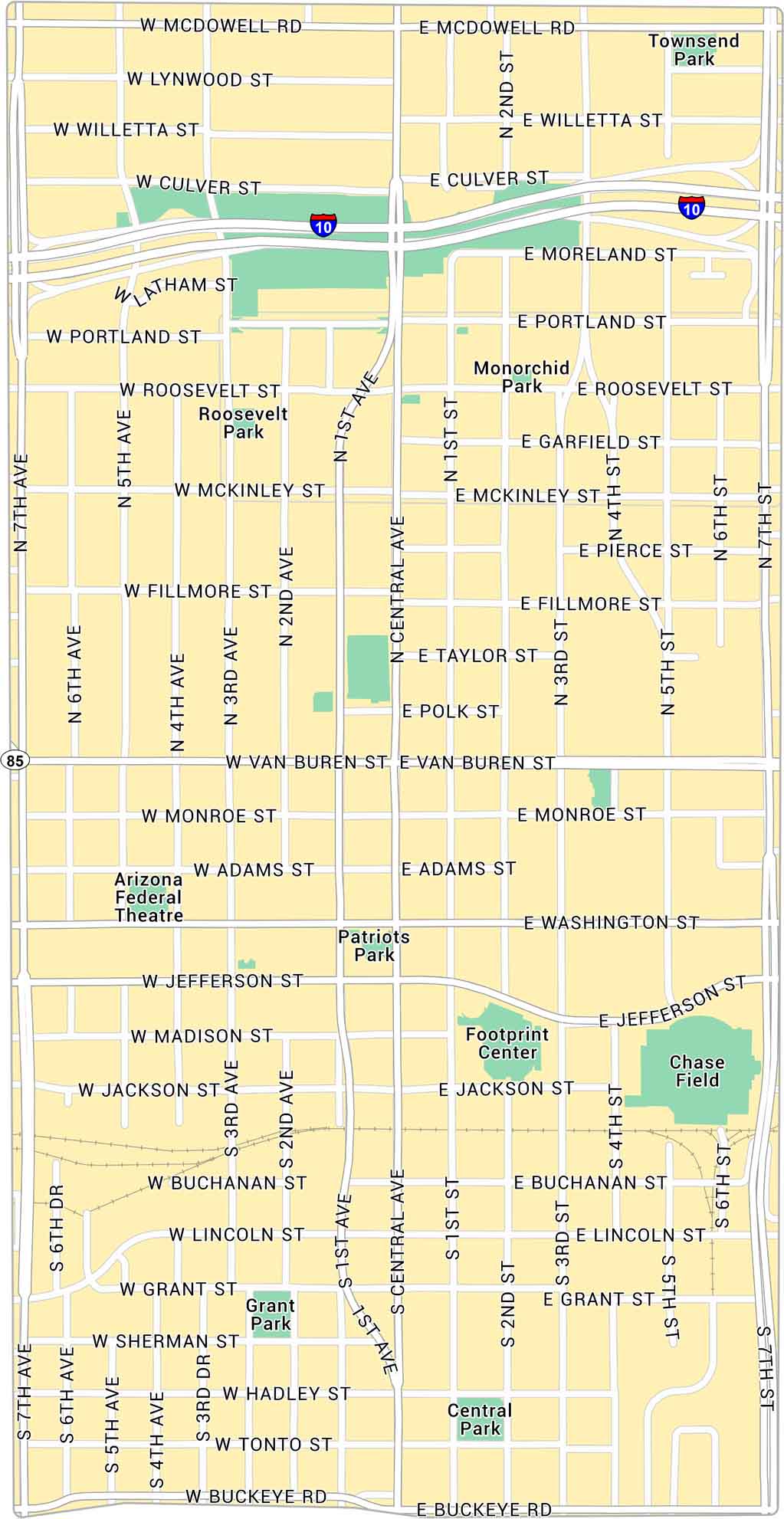
Explore Downtown Phoenix with our map, showing main streets, light rail routes, and city parks. Learn more about this flat, open center surrounded by desert and skyline views.
Map Information
On the Map
Interstates/Highways: I-10, State Rte 85 Major Roads: Central Ave, Washington St, Jefferson St, Van Buren St, Buckeye Rd, McDowell Rd, 7th Ave, 7th St, Roosevelt St, Jackson St, Fillmore St, Adams St, Monroe St, Lincoln St, Grant St, 1st Ave, 1st St, 3rd Ave, 3rd St, 5th Ave Parks: Townsend Park, Roosevelt Park, Monorchid Park, Patriots Park, Grant Park, Central Park Landmarks: Chase Field, Footprint CenterPhoenix Neighborhood Maps
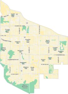
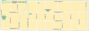
See our neighborhood maps of Phoenix, Arizona.
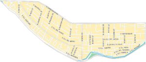
Arizona City Maps
Here’s our full batch of Arizona city maps


