Map of Union City, New Jersey
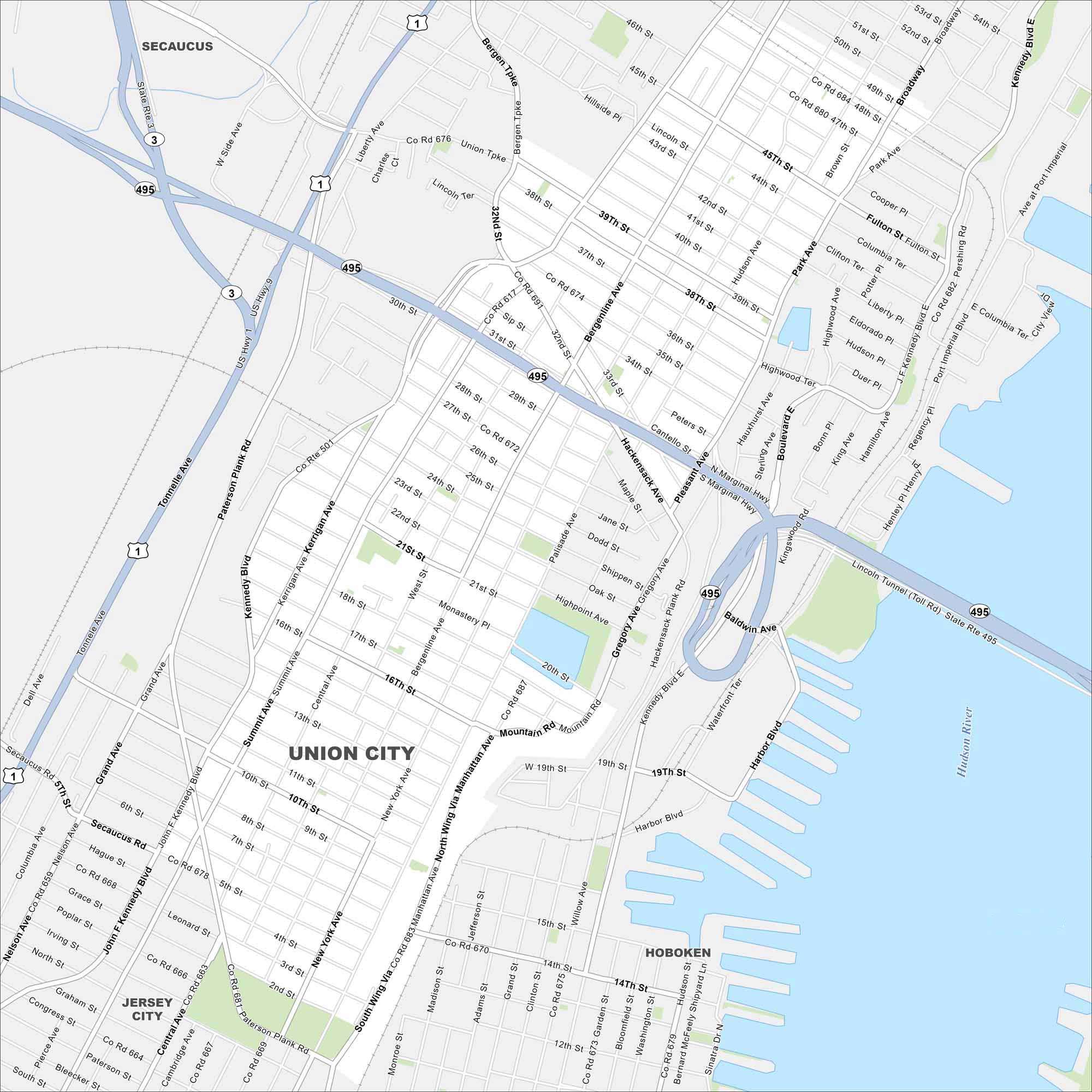
Need directions for Union City? This city is perched on the Palisades above the Hudson. Our map highlights its dense streets and the Lincoln Tunnel Toll Road.
Map Information
On the Map
Interstates/Highways: US Hwy 1, US Hwy 9, State Rte 3, State Rte 495 Major Roads: Kennedy Blvd, Bergenline Ave, Tonnelle Ave, Paterson Plank Rd, Park Ave, Hudson Ave, Palisade Ave, Manhattan Ave, Summit Ave, Central Ave, New York Ave, Pleasant Ave, Hackensack Plank Rd, Broadway, Union Tpke, 32nd St, 49th St, Liberty Ave, 14th St, Harbor Blvd Major Rivers: Hudson River Nearby Communities: Secaucus, West New York, Jersey City, Hoboken, GuttenbergNew Jersey State Maps
Explore maps from the Garden State.


City Maps of New Jersey
Newark and New Jersey cities in complete detail


