North End Map, Boston
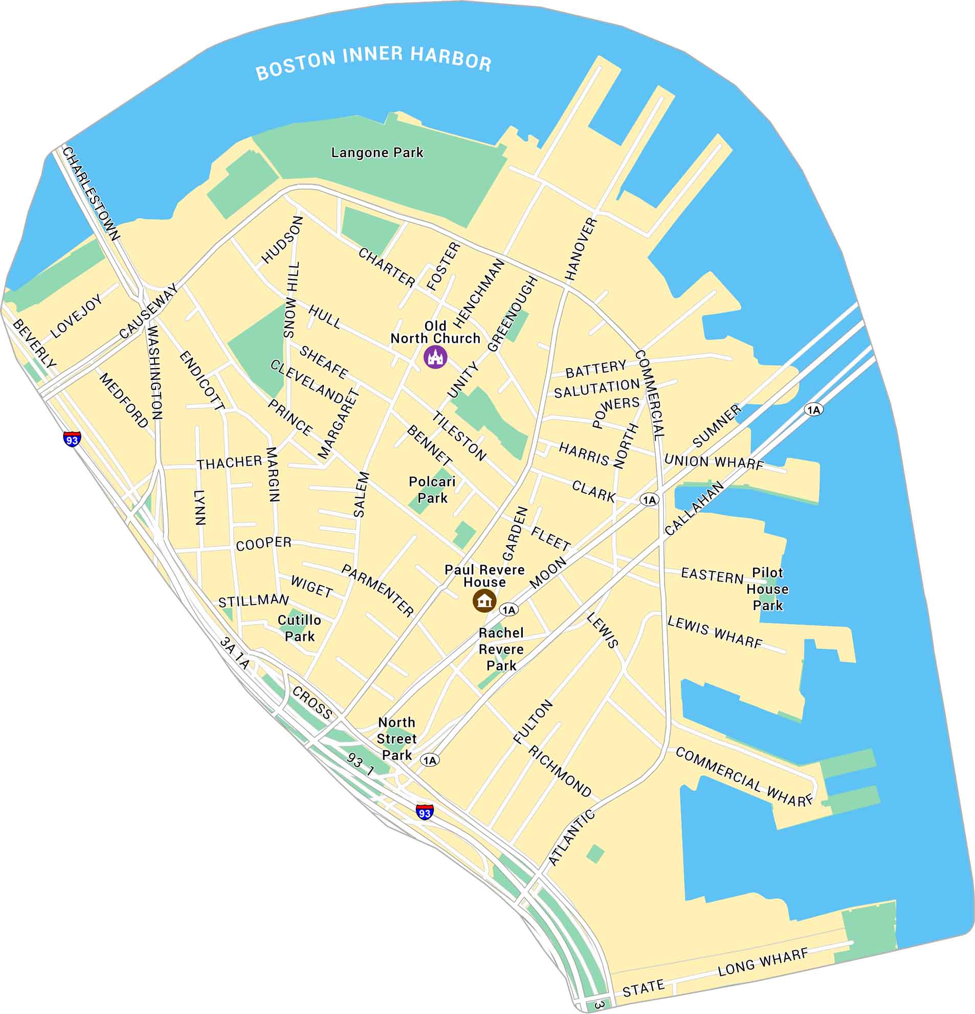
Our map of the North End shows Boston’s historic waterfront neighborhood. It displays its streets, local parks, and nearby major landmarks.
Map Information
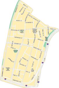
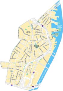
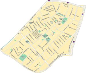
Boston Neighborhood Maps
See our neighborhood maps for a closer look of the city.
On the Map
Interstates/Highways: I-93, US Hwy 1, US Hwy 1A Major Roads: Atlantic Ave, Commercial St, Hanover St, Salem St, North St, Cross St, Causeway St, Washington St, Endicott St, Prince St, Richmond St, Fleet St, Parmenter St, Cooper St, Thacher St, Margin St, Lynn St, Stillman St, Charter St, Hull St Harbors: Boston Inner Harbor Parks: Langone Park, North Street Park, Rachel Revere Park, Polcari Park, Cutillo Park, Pilot House Park Landmarks: Old North Church, Paul Revere House, Long Wharf, Commercial Wharf, Lewis Wharf, Union WharfCity Maps of Massachusetts
Explore Boston and other urban areas in Massachusetts


