The Gulch Map, Nashville
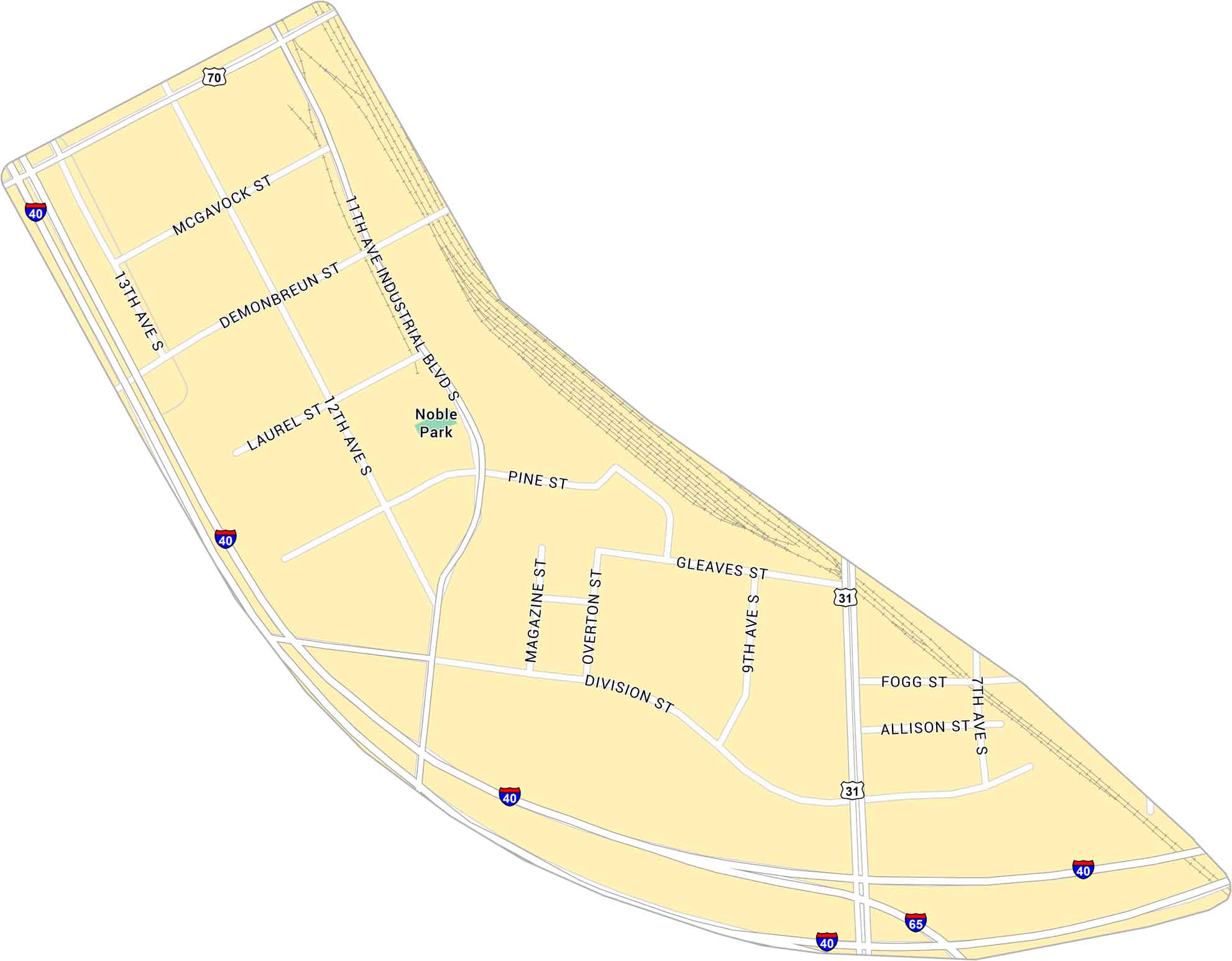
The Gulch is where old rail lines meet sleek new towers. Our map shows its streets, highways and rail lines. It’s a small neighborhood but it has big-city energy.
Map Information
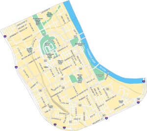
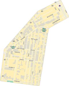
Nashville Neighborhood Maps
See our neighborhood maps for a closer look of the city.
On the Map
Interstates/Highways: I-40, I-65, US Hwy 31, US Hwy 70 Major Roads: Division St, Demonbreun St, McGavock St, 11th Ave Industrial Blvd, 12th Ave, Laurel St, Pine St, Gleaves St, Fogg St, Allison St, Magazine St, Overton St, 7th Ave, 9th Ave, 13th Ave Parks: Noble ParkCity Maps of Tennessee
Explore our Tennessee map collection


