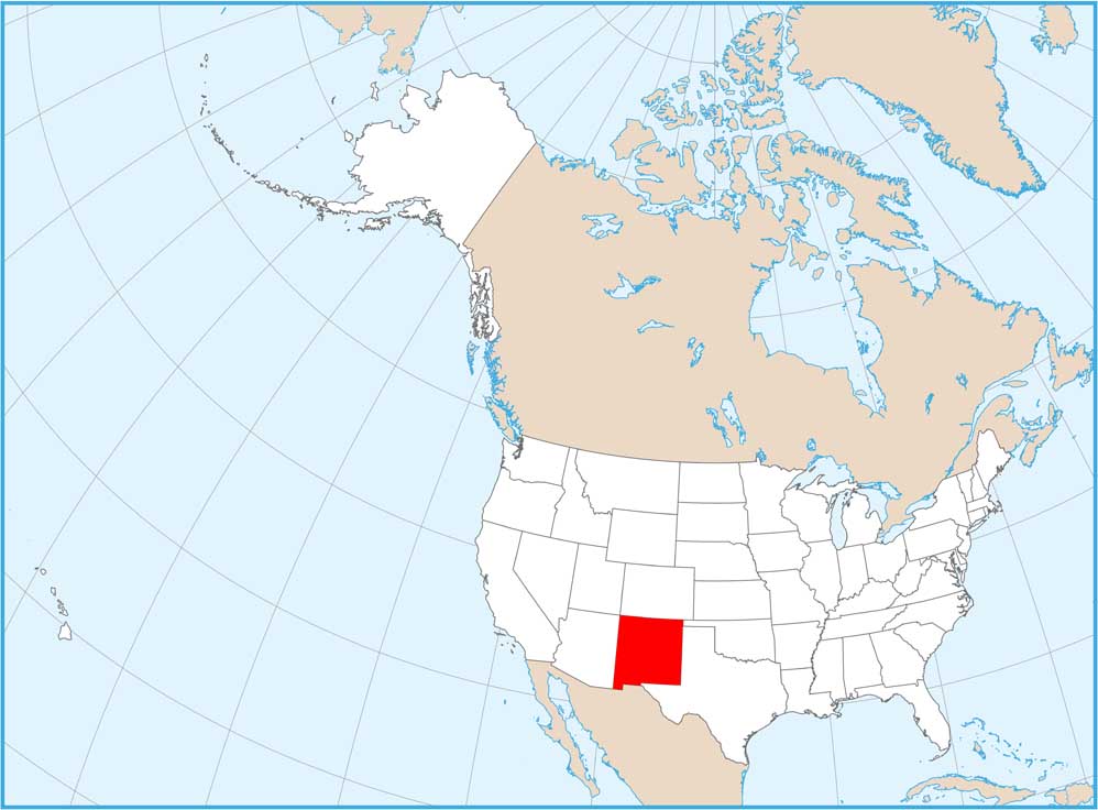
Map of New Mexico
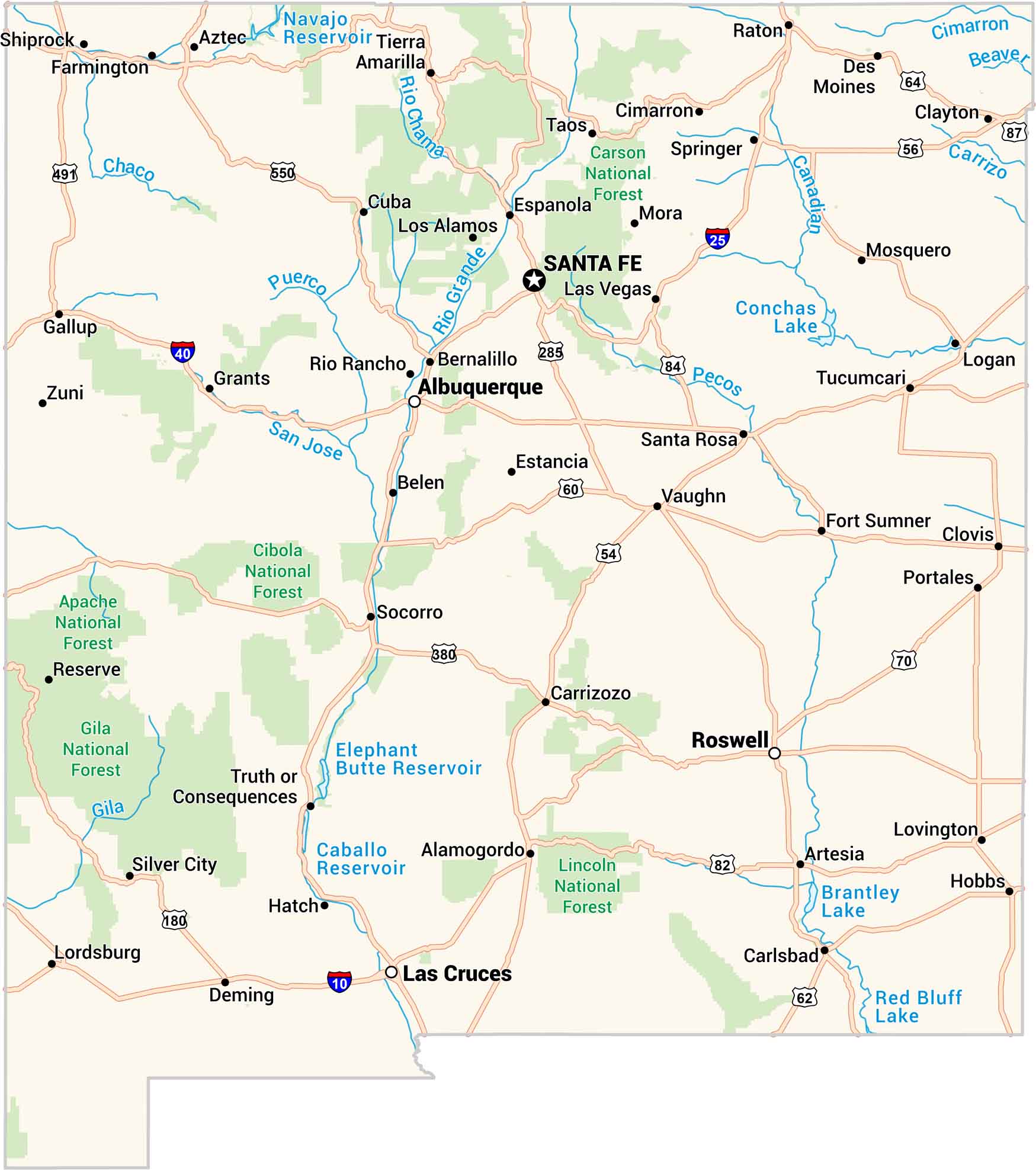
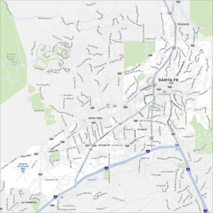
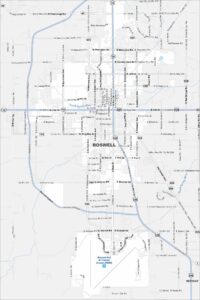
Our map of New Mexico feels wide open, like the land itself. It has deserts, canyons, and highways that cut through it all. Santa Fe sits high and calm, while Roswell keeps its mystery. It’s quiet country with a wild heart.
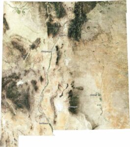
New Mexico State Maps
See maps across deserts, peaks, and towns of New Mexico.


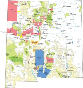


Map Information
On the Map
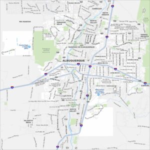
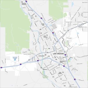
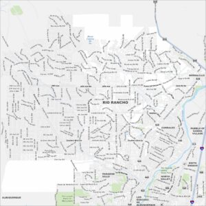
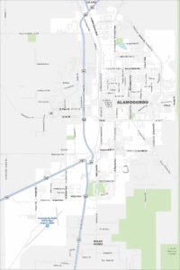
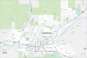
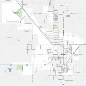
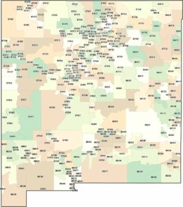
City Maps of New Mexico
Traverse New Mexico with our city maps.