Home » State Maps » Map of Oregon

Map of Oregon

Oregon Map

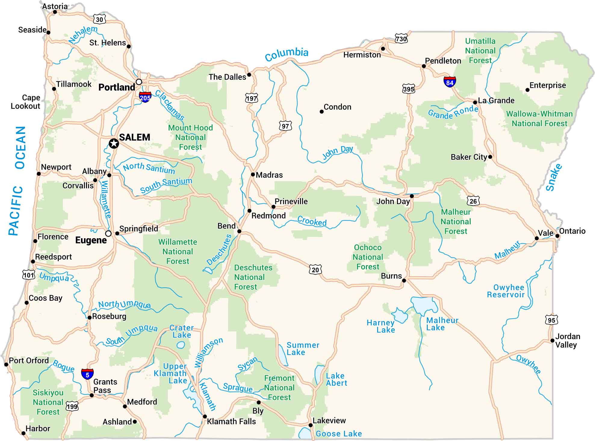
Oregon’s the kind of place where mountains, forests, and coastline all meet on one map. You’ll spot winding rivers, deep lakes, and towns along the rugged Pacific edge. Our map of Oregon captures it all. It feels alive, because it is.
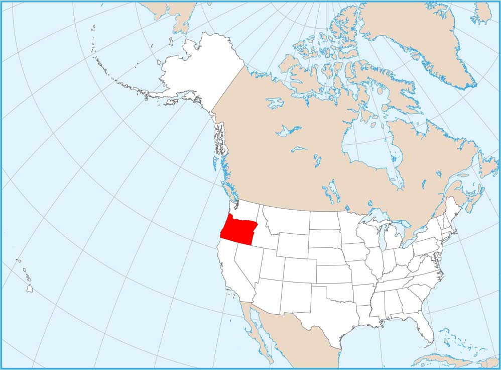
Map Information

  • State of Oregon
  • Road Map of Oregon
  • Free for personal and commercial purpose. Attribution is required. How to attribute?

On the Map

Oregon Location Map
State Capital: Salem Major Cities: Eugene, Portland Cities and Towns: Albany, Ashland, Astoria, Baker City, Bend, Bly, Burns, Condon, Coos Bay, Corvallis, Enterprise, Florence, Grants Pass, Harbor, Hermiston, Hillsboro, John Day, Jordan Valley, Klamath Falls, La Grande, Lakeview, Madras, Medford, Newport, Ontario, Pendleton, Port Orford, Prineville, Redmond, Reedsport, Roseburg, Seaside, Springfield, St. Helens, The Dalles, Tillamook, Vale Interstate Highways: I-5, I-84, I-205 US Routes: US-20, US-26, US-30, US-95, US-97, US-101, US-197, US-199, US-395, US-730 Lakes and Reservoirs: Crater Lake, Goose Lake, Harney Lake, Lake Abert, Malheur Lake, Owyhee Reservoir, Summer Lake, Upper Klamath Lake, Pacific Ocean Rivers and Streams: Clackamas River, Columbia River, Crooked River, Deschutes River, John Day River, Klamath River, Malheur River, Nehalem River, Owyhee River, Rogue River, Snake River, Sprague River, Sycan River, Willamette River, Williamson River National Parks and Forests: Deschutes National Forest, Fremont National Forest, Malheur National Forest, Mount Hood National Forest, Ochoco National Forest, Siskiyou National Forest, Umatilla National Forest, Wallowa-Whitman National Forest, Willamette National Forest

City Maps of Oregon

Get to know Portland and Oregon’s urban areas.

References

  1. Government Website of Oregon
  2. Oregon in Google Maps

Leave a Reply

Your email address will not be published. Required fields are marked *